
Summary — “Best free” means “best for your output”
The best free 3d scanner app for iphone is not a permanent single winner. The right choice depends on whether you need a quick room capture, a textured visual model, or a file for a slicer, CAD reference, or 3D editor. Rear LiDAR-assisted capture and camera-only photogrammetry involve different trade-offs, and a free download may still limit processing, exports, cloud credits, or licensing. Apple lists a LiDAR Scanner for iPhone 18 Pro, while iPhone 17 technical specifications do not list one. [1]
Choose from the required output backward. A scan can look convincing in an app yet still be unsuitable if the free workflow cannot export the needed data type.
| Goal | Best free candidate (as of verification date) | Why | What to verify before scanning |
|---|---|---|---|
| Fast room or larger-object capture | KIRI Engine, if its current free local LiDAR modes fit | It documents free local LiDAR modes on supported devices. [12] | Rear LiDAR hardware and current export terms |
| Photo-based object reconstruction | RealityScan Mobile or KIRI Engine, if the documented free workflow fits | Both support photo-led capture with stated limits. [12] [15] | Image cap, processing route, export, and account requirements |
| GLB/glTF handoff | Polycam Free, if glTF meets the downstream need | Polycam documents GLTF-only export for Free users. [2] | Whether glTF is accepted by the destination tool |
| Visual sharing or splat-oriented output | Scaniverse, if the required Classic or cloud/Web workflow remains available | Listed exports and credit rules differ by workflow. [13] [14] | Which Scaniverse workflow provides the required export |
Start here:
- Need LiDAR? Check whether your exact iPhone has a rear LiDAR Scanner.
- Need OBJ or STL? Confirm that format is included in the current free tier before capture.
- Need a room mesh? Prefer a LiDAR-capable workflow when fast spatial coverage matters.
- Need photoreal viewing rather than editable geometry? Consider photo-based or splat-oriented capture, then verify the output type.
Step 1 — Check whether your iPhone can do rear LiDAR scanning
Check the exact iPhone model, not the iOS version, camera count, or an app’s compatibility label. Open Apple’s technical specifications for that model and look for LiDAR Scanner in the camera or sensor specifications. Apple lists one for iPhone 18 Pro, whereas iPhone 17’s published specifications do not list one. [1] This is the relevant hardware check for apps that use rear depth sensing while you move around a room, scene, or object.
Rear LiDAR scanning requires a LiDAR Scanner on the back of the device; TrueDepth/Face ID is different hardware.
The front-facing TrueDepth system supports Face ID and related near-field functions. Apple describes its dot projector as projecting and reading more than 30,000 invisible infrared dots to form a facial depth map. [3] It does not make a phone a rear-LiDAR scene scanner. An iPhone without rear LiDAR can still create 3D models through photo-based capture, but that is a different workflow.
How iPhone 3D scanning works
LiDAR-assisted depth capture
On supported iPhones, ARKit can provide sceneDepth only on LiDAR-capable hardware. [4] ARDepthData represents depth values in meters and may include a confidence map that indicates the reliability of individual depth estimates. [4] A scanning app combines observations as the phone moves, then filters noise and fills gaps. This can stabilize a surface, but it can also soften uncertain boundaries, sharp corners, and thin features.
Photogrammetry from overlapping photos
Photogrammetry starts with overlapping photographs taken from different viewpoints. Software identifies matching visual features, estimates camera positions, reconstructs a surface, and can project image detail onto it as texture. Consistent overlap, stable exposure, and even lighting provide better evidence. Conventional photogrammetry is challenged by non-textured, transparent, and reflective surfaces because their appearance may not remain consistent between viewpoints. [5]
What you end up with: point cloud, mesh, textured mesh, or Gaussian splat
A point cloud is a set of spatial samples in three dimensions. A mesh connects samples with surface faces, creating a geometric skin. A textured mesh adds image-based color and detail over that geometry. A Gaussian splat is a view-oriented scene representation designed for realistic rendering from different viewpoints. It can be effective for visual exploration, but it is not automatically a CAD-ready, watertight, or printable surface.
File formats and exports — the gotchas that decide whether your scan is usable
Choose an export based on the downstream task. A slicer, CAD-reference workflow, web viewer, AR handoff, and point-cloud inspection tool do not necessarily require the same data. An export can succeed technically but still fail at the next stage if it loses scale, texture references, point attributes, or usable surface information.
- STL: STL stores triangle geometry but carries no scale information; its coordinates use arbitrary units. It has no standard support for colors or textures. [6]
- OBJ: OBJ may refer to a separate MTL material file and external texture images. If those companion files are not kept together, texture appearance can break. [7]
- PLY: PLY is a polygon-model family originating in scanning, but its payload varies. A PLY may contain mesh faces, points only, or different attributes. [8]
- GLB/glTF: glTF specifies meters for linear distances. GLB packages glTF content into a binary container, which is useful for many interchange workflows. [9]
- USDZ: USDZ is a self-contained archive that bundles USD content with dependencies, making it useful for Apple AR handoff. [10]
- LAS: LAS is intended for LiDAR and other point-cloud records, so it signals a point-oriented exchange workflow rather than a textured mesh. [11]
STL export is not evidence that a model is print-ready. Check manifoldness, scale, holes, self-intersections, repair status, wall thickness, and intended print orientation before slicing. After export, inspect the import in the destination software: verify scale, normals, texture links, and whether the mesh or point data remain suitable for the intended job.
What “free” means — the entitlement checklist
A free scanner app is a workflow entitlement, not merely a zero-cost download. Check whether free access covers installation, capture, processing, quotas or credits, the export formats you need, watermarks, account or cloud-service dependency, and commercial-use permissions. Polycam illustrates the distinction: its Free plan is documented as allowing GLTF export only, which may work for one handoff but not another. [2] KIRI Engine, by contrast, states free scan and export allowances while also setting per-scan limits. [12] Establish whether processing is local or cloud-based, since that affects connectivity, privacy, and long-term access. Free-plan claims are time-sensitive, so verify the App Store listing, vendor plan page, export documentation, and terms before capture.
Free iPhone 3D scanner app comparison — verified free-tier workflow audit
This audit marks an entitlement as confirmed only where an official App Store listing, vendor plan page, export document, or terms support it. It does not compare image quality, accuracy, ratings, or speed. Those outcomes depend on the subject, capture conditions, reconstruction mode, and selected workflow.
| App | Capture modes (iOS) | Confirmed free exports (formats) + key caps | Processing & account notes |
|---|---|---|---|
| Scaniverse | Classic app capture; Scaniverse cloud/Web workflows are distinct. [13] [14] | The App Store listing names SPZ, PLY, GLB, and FBX exports. Scaniverse Web documents PLY, SPZ, GLB, FBX, and USDZ, but this is a Web workflow rather than an unconditional Classic-app entitlement. [13] [14] | The free cloud plan is credit-based: 20,000 credits per month, described as about 10 minutes of mobile scan activation or about 1,500 VPS queries, with up to five users. [14] |
| KIRI Engine | Photo capture; Room Scan, Scene Scan, Object Mode, and Area Mode are stated as free local LiDAR modes. [12] | Basic states up to 150 photos and a maximum 2 GB per scan, with unlimited scans and unlimited free exports. [12] | KIRI states AI-Enhanced LiDAR is a Pro cloud feature. It also states that Basic exports may be used for personal or commercial projects. [12] |
| RealityScan Mobile | Photo-based projects. [15] | The guide states an image limit of 300 per project or scan. Release notes state that iOS device downloads are OBJ. [15] | Its EULA notes that exporting or publishing may require other products, such as Sketchfab, and restricts use as generative-AI training input. [15] |
| Polycam | Mode availability is plan-sensitive. | Free plan users can export GLTF only. [2] | Confirm processing and other export needs against the current plan page before capture. [2] |
| 3D Scanner App | Vendor help states that the app requires LiDAR hardware and lists several capture and export options. [16] | No reliable, current figure found — verify in app / plan page before scanning. | The App Store listing describes subscriptions for premium features. [16] |
Verified on: November 17, 2026. Free tiers change — recheck links before scanning.
The comparison does not produce a universal winner. A workflow is genuinely free for a particular project only if its confirmed capture route, processing route, export format, account requirement, and license terms allow the next step. If a format or entitlement cannot be verified, test a small representative capture before scanning an important subject.
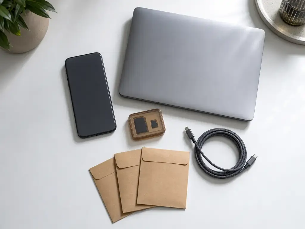
LiDAR vs photogrammetry on iPhone — which is better, and when
LiDAR-assisted scanning and photogrammetry solve different capture problems. LiDAR supplies depth observations as you move, making it practical for rapid room, scene, and larger-object coverage when compatible hardware is available. Photogrammetry derives shape from overlapping images, so it works on non-LiDAR iPhones and can suit visually detailed, matte subjects. Neither method is universally more accurate: scale, target appearance, distance, lighting, and reconstruction workflow all matter. [5] [17]
A 2025 field study using an iPhone 13 Pro and Polycam reported different aggregate results for its hazelnut-tree target: photo mode had mean deviation of −0.001 m with σ = 0.016 m, while LiDAR mode had mean deviation of −0.013 m with σ = 0.024 m, using the paper’s definitions. [18] These values describe that target and procedure, not an app ranking. Gaussian splatting can be useful for photoreal visual exploration when supported, but it is not automatically an editable, watertight mesh.
| Method | Works on | Best-fit use | Principal limitation |
|---|---|---|---|
| LiDAR-assisted scanning | iPhones with a rear LiDAR Scanner | Fast capture of rooms, scenes, and larger objects | Noise and smoothing can reduce small-feature definition |
| Photogrammetry | iPhones with a camera | Matte, visually detailed objects captured from many viewpoints | Reflections, transparency, weak texture, and lighting changes disrupt reconstruction |
| Gaussian splatting | Workflows that support image-based splat output | Visual scene capture and view-oriented presentation | Not automatically a printable mesh or CAD asset |
Choose LiDAR when / choose photogrammetry when
- Choose LiDAR when you need rapid coverage of a room or larger scene and have compatible rear-LiDAR hardware.
- Choose LiDAR when spatial context matters more than preserving fine detail on a small object.
- Choose photogrammetry when rear LiDAR is unavailable but the object can be photographed from many overlapping viewpoints.
- Choose photogrammetry when the subject is matte, well lit, visually detailed, and its surface appearance matters.
A repeatable workflow for better iPhone scans
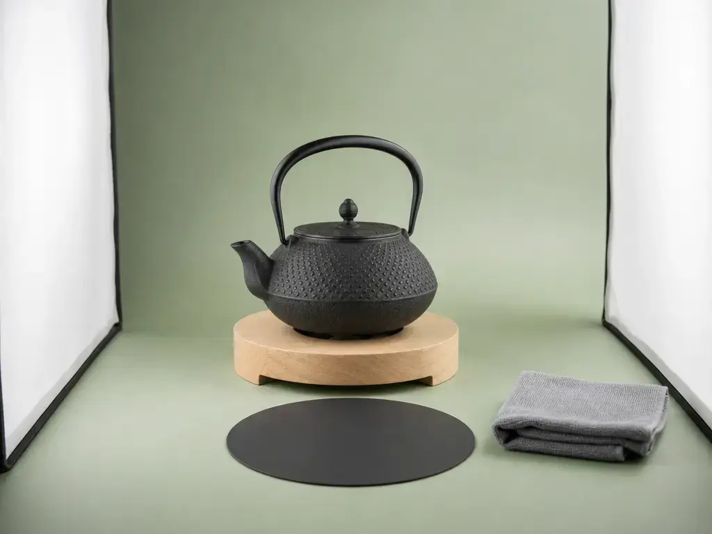
Reliable results begin before opening an app. Decide whether you need a printable mesh, a CAD reference, a textured visual model, or a spatial record, then choose LiDAR-assisted capture or photogrammetry accordingly. Use diffuse, even light and place the subject against a visually separate background.
During capture, move steadily, keep a consistent distance, and create overlap between views. After reconstruction, inspect the result rather than trusting a completion message. Missing undersides, occluded cavities, drifting edges, and accidental background geometry often become apparent only after export or import.
7-step capture-to-export checklist
- Define the required output and choose the capture method before scanning.
- Use diffuse lighting and place the object against a visually separate background.
- Capture steady, overlapping views around all accessible surfaces.
- Move slowly and keep the phone at a consistent distance from the subject.
- Inspect coverage and rescan occluded, incomplete, or poorly tracked regions.
- Remove unwanted geometry and simplify or repair the model where needed.
- Export and validate a known physical dimension or scale reference, dimensions, normals, texture loading, and printability or CAD import.
Accuracy, precision, resolution, and scale — what you can responsibly claim
The International Vocabulary of Metrology distinguishes terms that are often conflated. Accuracy describes closeness of agreement between a measured value and a reference value. Trueness concerns systematic measurement error. Precision concerns agreement among repeated measured values. [19] Resolution and point density are different again: they describe the smallest distinguishable detail or density of sampled data, not proof that a model is dimensionally correct.
A Scientific Reports evaluation of iPhone 12 Pro and iPad Pro LiDAR reported a maximum range up to 5 m in its tested context. It reported point-density change from 7,225 points/m² at 0.25 m to 150 points/m² at 2.5 m. [17] The study reported approximately ±1 cm absolute accuracy for its tested objects larger than 10 cm, but approximately ±10 cm for a 130 × 15 × 10 m coastal-cliff model. [17] These are study-specific results, not a current-phone or app guarantee. The shorthand claim “iPhone LiDAR is 1 cm accurate” is therefore not responsible.
Validate against a known feature on the actual subject, repeat captures, compare deviations, and record material, lighting, distance, capture mode, and export/import units. ISO 10360-8 applies to Cartesian CMMs with optical distance sensors, not as a certification shortcut for phone scanning. [20]
Limitations and common failure modes — why holes and warping happen
Holes and warped areas usually begin with missing or ambiguous evidence. Reflective and transparent surfaces change appearance with viewpoint, while featureless, dark, or repeating-pattern surfaces may provide too few unique visual cues for photogrammetry to align reliably. [5] Thin geometry can vanish when viewed edge-on or be softened in reconstruction. Motion blur, occlusion, tracking loss, and changing exposure can cause unrelated surfaces to join, cavities to disappear, or edges to distort.
Improve the evidence before relying on cleanup tools: use diffuse, stable lighting, add temporary visual texture where appropriate and permitted, move more slowly, collect extra angles around recesses and undersides, and simplify the background. Some subjects remain unsuitable without specialist preparation or a different measurement method. Do not use as the only measurement basis for tight-tolerance/safety/legal/survey work.
Practical uses for free iPhone 3D scanning
Free iPhone scanning can be useful for rough-fit references, replacement-part ideation, classroom artifacts, room or object documentation, Blender assets, web or AR viewing, and point-cloud inspection. A repaired STL can support geometry-oriented print preparation; OBJ can transfer a textured asset; GLB or glTF can support interoperable sharing; and USDZ can suit Apple AR handoff. PLY or LAS-style outputs can support point-oriented inspection where available. Format availability depends on the current app mode and free tier, so treat the scan as a starting model for comparison, editing, and test fitting rather than an automatically finished asset.
Bottom line — choose the workflow, then verify the entitlement
There is no universal winner for the best free 3d scanner app for iphone. First establish whether you have a LiDAR-capable phone or need camera-only photogrammetry. Then identify the downstream output required for print preparation, a textured asset, AR viewing, or point-data inspection.
Next verify the free entitlement in order: capture, processing, export, account requirements, and licensing terms. Do this before collecting a substantial project, not after a model is trapped in an unsuitable format or cloud route. Scan and export one representative object, import it into the intended next tool, and inspect the result before relying on the workflow for an important part, documentation task, or presentation.
FAQ
These answers focus on selecting and validating a usable free workflow rather than naming one permanent winner. App plans, export options, and processing routes can change, so verify current official documentation and in-app terms before starting an important project.
What is the best free 3D scanner app for iPhone?
There is no single best free 3D scanner app for iPhone. The appropriate choice depends on the phone’s hardware, whether the subject is a room or a small object, and the required file after capture. Decide first whether rear LiDAR or photo-based capture suits the subject, then confirm that the free tier can process and export the result you need. Scan one representative object and import it into the intended slicer, CAD tool, viewer, or editor before committing to a larger project.
Can you scan 3D with iPhone LiDAR for free?
Yes, provided the iPhone has a rear LiDAR Scanner and the selected app’s current free workflow permits the required capture and processing mode. A free download does not necessarily mean unrestricted export, local processing, or commercial use. Check the exact model in Apple’s specifications, then verify the current plan for capture, processing, export, account requirements, and licensing. Make a short test scan of a similar subject and confirm that the exported file opens correctly downstream.
Which is better on iPhone — LiDAR scanning or photogrammetry?
Neither method is better in every situation. LiDAR-assisted scanning is often practical for quickly capturing rooms, scenes, and larger objects when rear LiDAR is available. Photogrammetry works on non-LiDAR iPhones and can suit matte, detailed objects photographed under stable lighting. Both can struggle with reflections, transparency, thin features, and missing viewpoints. Choose according to the subject, intended output, and capture conditions, then compare test results from the actual workflow you intend to use.
How accurate is an iPhone LiDAR 3D scanning app, and how should I validate it?
Accuracy depends on the object’s size and material, capture distance, lighting, tracking quality, reconstruction settings, and export/import workflow. Published research is conditional to the tested device, scene, and method, not a guarantee for every app or project. [17] Validate against a known feature on the actual subject, repeat the capture, and compare resulting dimensions or deviations. Record the conditions and units used, especially if the model will guide fitting, fabrication, or documentation decisions.
Does a free iPhone 3D scanner app export OBJ or STL?
Some apps may offer OBJ or STL under particular modes or plans, but do not assume either format is free. Check official export documentation for the specific iOS app and selected capture mode immediately before scanning. Polycam Free, for example, documents GLTF export rather than a general promise of OBJ or STL access. [2] If a slicer requires STL or an editor needs a textured OBJ, export a test model and verify that it imports with the expected geometry and associated resources.
Why does my STL/OBJ import at the wrong size, and how do I fix units/scale?
STL commonly imports at the wrong size because it stores triangle geometry without embedded standardized scale units. [6] The receiving application must interpret the coordinates as millimeters, meters, or another unit. Check a known dimension after import, deliberately set import units, and apply a documented scale correction before repair or slicing. OBJ workflows can also vary by receiving application. By contrast, glTF defines linear distances in meters. [9]
Why does my iPhone 3D scan have holes or warped surfaces?
Holes and warping usually mean the capture contained insufficient or inconsistent evidence. Reflective, transparent, dark, plain, or repeating-pattern surfaces are difficult to reconstruct, while occlusions, motion blur, changing exposure, and tracking loss can distort geometry. [5] Improve capture rather than relying only on mesh repair: use diffuse, stable light, simplify the background, move steadily, collect overlapping views, and add views into recesses and around undersides. Where appropriate and permitted, temporary visual texture can improve photo-based alignment.
Sources
Sentence-level citations support platform, format, study, and plan claims. Volatile free-tier facts were verified on November 17, 2026.
- Apple iPhone 18 Pro Technical Specifications and Apple iPhone 17 Technical Specifications
- Polycam: What File Types Can Polycam Export?
- Apple Face ID Security Guide
- Apple ARKit
sceneDepthFrame Semantic and Apple ARDepthData - Mobile Photogrammetry Challenges on Non-Collaborative Surfaces
- The StL Format and Library of Congress: STL File Format Family
- Library of Congress: Wavefront OBJ File Format Family
- Library of Congress: Stanford Polygon File Format Family
- Khronos glTF 2.0 Specification
- Apple: Creating USD Files for Apple Devices