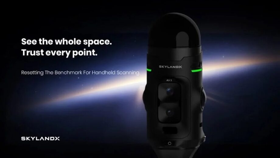
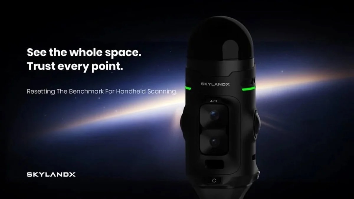

Reality-capture specialist SKYLANDX has launched the MetaCam Air 3, a handheld 3D scanner built around an in-house developed LiDAR sensor.
Unveiled at INTERGEO 2026 in Munich, the device is designed to help surveyors gather measurement-grade spatial data from buildings, sites, and other infrastructure.
The Air 3 is the latest in a line of products that began in 2023, when SKYLANDX brought its first integrated handheld scanner to market. Since then, the has shipped more than 5,000 units, and its customers have collectively captured more than one billion square meters of real-world space. The new model is intended to build on that install base, and on what the company has learned from the earlier systems in the field.
Designing a LiDAR sensor in-house
Handheld LiDAR scanners work by emitting laser pulses and measuring the returning signal, building up millions of recorded points as the operator walks through a space. Many compact devices of this kind rely on off-the-shelf LiDAR units that were originally developed for robotics or vehicles, where the priority is detecting obstacles quickly and reliably, but surveying has different requirements.
SKYLANDX has chosen to develop its own hardware instead. The Air 3 uses in-house developed LiDAR with a field of view of 360° horizontally and 240° vertically. According to the company, its Air 3 scanner is the only handheld reality-capture system with custom LiDAR specifically for surveying.
Several design decisions follow from that approach. The sensor projects a smaller laser spot onto the surface being measured. Because each measurement samples a more tightly defined area, the scanner can resolve finer spatial detail and measure with greater precision. The sensor also operates at a high point capture rate, meaning it can take a larger number of measurements every second.
Another aspect worth considering is that devices with a narrow vertical range can leave blind spots directly above and below, so operators either have to tilt the scanner, revisit an area or make additional passes for floors and ceilings. With 240° vertical coverage, the Air 3 is designed to record both in a single pass. In practice, that should reduce the number of times the operator needs to reposition during a scan, along with the supplementary passes that add time to a job.
Built-in color cameras
LiDAR captures geometry but not color or visual context, so the Air 3 combines its sensor with several cameras, each serving a separate purpose. Two 50-megapixel panoramic color cameras provide wide visual coverage of the surroundings. SKYLANDX describes their imaging performance as equivalent to that of a 1-inch sensor, a format generally associated with better light gathering and lower image noise than the smaller sensors found in most smartphones.
A third, 48-megapixel camera faces forward and records additional high-resolution detail in the direction the operator is scanning. The fourth camera is dedicated to positioning. It uses a global shutter, which exposes the entire frame at the same moment instead of reading it out line by line.
This avoids the distortion that can appear in images captured while a device is in motion. The camera feeds the scanner’s visual SLAM, or VSLAM, system. SLAM, short for simultaneous localization and mapping, is the process by which a mobile scanner works out its own position and orientation while it builds a map of its environment.
Adding visual information to the LiDAR data gives the system a second source of reference, helping it keep track of where it is as the operator moves.
Highly versatile positioning
A handheld scan on its own produces a model in a local coordinate system. To place that data accurately in real-world coordinates, survey teams normally rely either on satellite positioning corrections or on reference points whose locations are already known. The Air 3 supports several ways of doing this, so that it can be adapted to different job sites.
The scanner can receive real-time kinematic (RTK) corrections over a mobile data connection using NTRIP, the standard protocol for streaming correction data across the internet. Where network coverage is poor or a correction service is unavailable, it can instead take RTK corrections by UHF radio from a local base station set up on site. It also supports post-processed kinematic (PPK) workflows, in which positioning data is corrected after capture.
The hardware has been designed with this flexibility in mind. The RTK module is removable, and the UHF radio attaches to the scanner magnetically. Users can therefore configure the device for the job in hand, depending on whether they will be working with a network correction service or with their own base station.
Gathering ‘the data surveyors need’
SKYLANDX has also looked at how the device is handled in the field. Scanning begins with a single button press, keeping setup to a minimum. A ring-shaped indicator, which the company calls the Mars Ring, shows the status of the system in real time, including an indication of SLAM accuracy.
Explaining the company’s approach, Stuart Situ, CTO at SKYLANDX, said: “We did not design Air 3 around the limits of an existing sensor. We started with the data that survey professionals actually need, then redesigned the core LiDAR and the complete product experience around it. Air 3 advances individual performance while bringing accuracy, coverage, imaging, positioning, and usability together in one platform. Our goal is to keep the complexity inside the system and give users a freer, simpler, and more trusted reality-capture experience.”
Software and availability
Data captured with the Air 3 is handled within SKYLANDX’s own software. There, users can review and edit their scans, process the data and export the results in the formats required for their projects. The software is intended to support each stage of the workflow, beginning with collection in the field and ending with delivery of the finished spatial dataset.
Following its introduction at INTERGEO 2026, SKYLANDX has not yet released pricing for the MetaCam Air 3. The company says that product configurations, regional availability and commercial details will be announced separately.