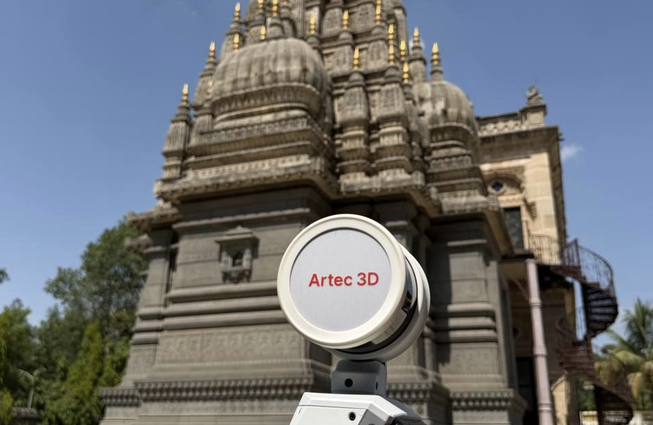

India is home to some amazing religious architecture. Several major faiths originated there, and the country has dozens of UNESCO World Heritage Sites, many of which are places of active worship.
It’s important to keep accurate records of these sites. Age, pollution and extreme weather all take their toll on centuries-old stonework, and storms or floods could cause irreversible damage. A detailed 3D record gives conservators a reference point for restoration. It also opens these sites up to people who are unable to make the journey in person.
Aiming to put this idea to the test, Artec 3D recently deployed experts equipped with the SLAM-based LiDAR Artec Jet 3D scanner to India, where they digitized one of Bangalore’s best-known landmarks.
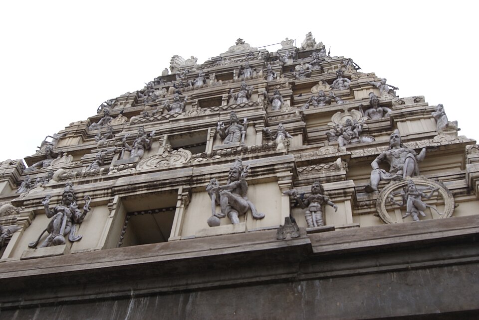
3D scanning India’s famous Bull Temple
The subject of Artec 3D’s scanning showcase was India’s Bull Temple, a shrine dedicated to Nandi, the sacred bull who serves as Lord Shiva’s mount and gatekeeper. Built in the 16th century, it houses one of the largest monolithic Nandi statues in the world, carved from a single block of stone.
Bangalore is home to almost 15 million people, and the temple is both a major visitor attraction and an active shrine. That combination makes it a difficult place to scan. Tourists and worshippers move through the site constantly, and the team had to work around them without interrupting prayer.
Artec Jet is perfect for this kind of environment. Attachable to a backpack, the device uses SLAM (simultaneous localization and mapping) to calculate its own position as it moves, so operators can capture areas simply by walking through them. In this case, a single 30-minute walk around the shrine was enough to map the entire site. With a range of up to 300 meters, Jet could also record the building’s exterior from ground level, without needing scaffolding or a lift.
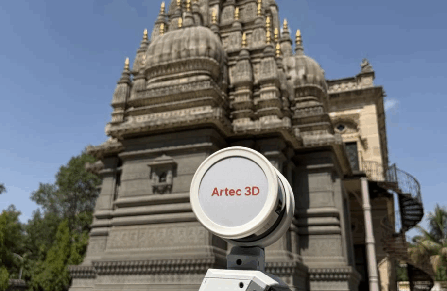
The team also deployed Artec Ray II, a tripod-mounted laser scanner that works from fixed positions and captures surfaces at higher resolution. Ray II was used to record the deities carved into the temple’s outer walls, adding a level of geometric detail that Jet’s faster sweep could not resolve. Between them, the two devices brought total scanning time to around an hour.
Data processing in Artec Twins
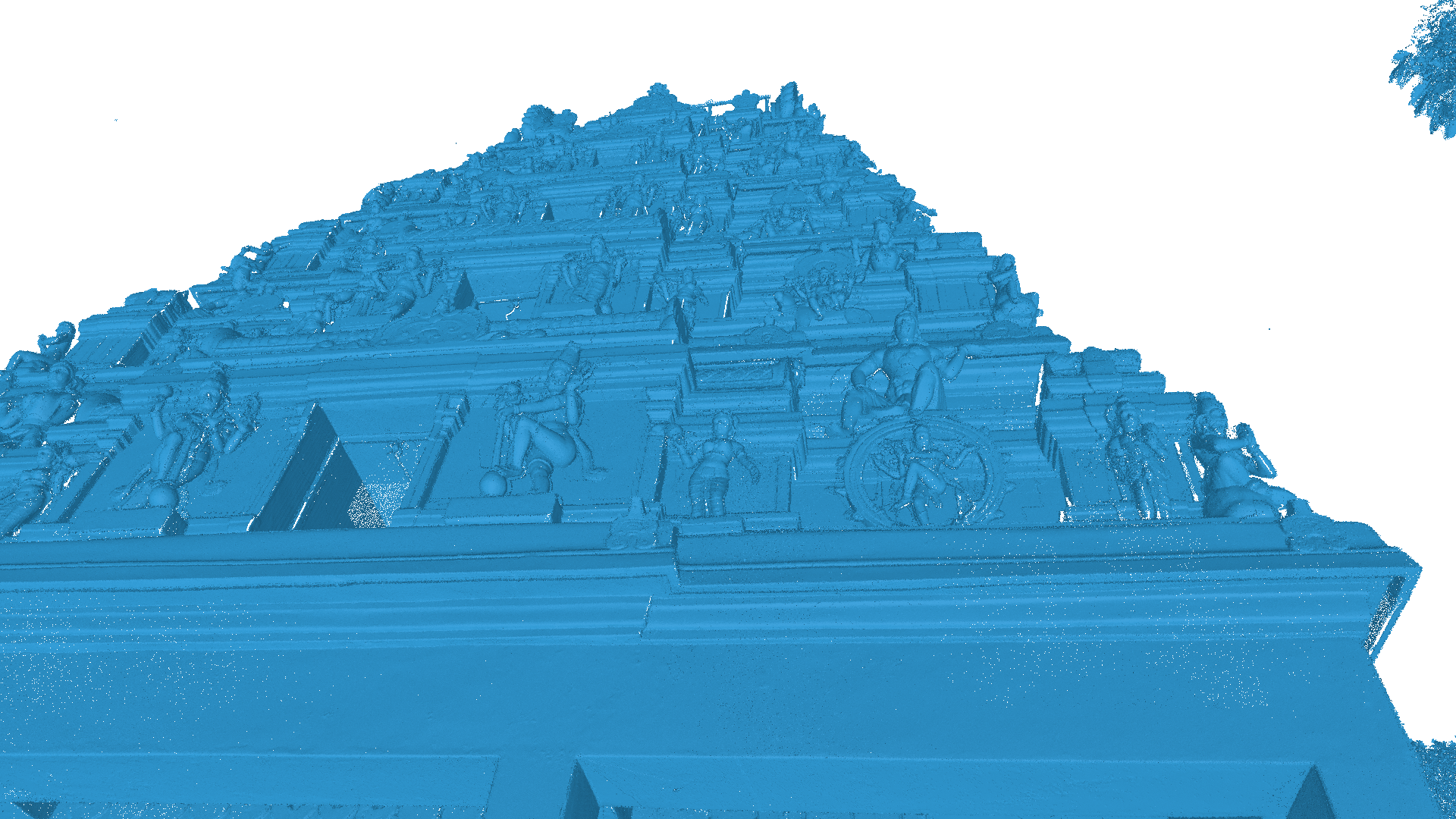
Once scanning was complete, the data was processed in Artec Twins, Artec 3D’s new software for handling large datasets. Within two hours, the team had a complete digital reconstruction of the site. The final model included elements that are typically hard to capture, such as the surrounding trees and foliage, as well as the monuments outside the temple.
Comparing the two datasets shows the trade-off between the two scanners. Ray II recorded the carved figures on the exterior more clearly than Jet. In principle, it could have captured the entire site on its own, but repositioning it around the temple would have taken several days. Jet covered everything in one walkthrough.
Artec Twins made it possible to use both. The software can import and merge data from several capture methods, including long-range LiDAR, handheld 3D scanning, photogrammetry and Gaussian Splatting. In this case, the team combined Jet’s wide-area scans with Ray II’s close-ups, producing a single model that places the whole site in context while preserving fine detail on the carvings.
Wider heritage preservation prospects
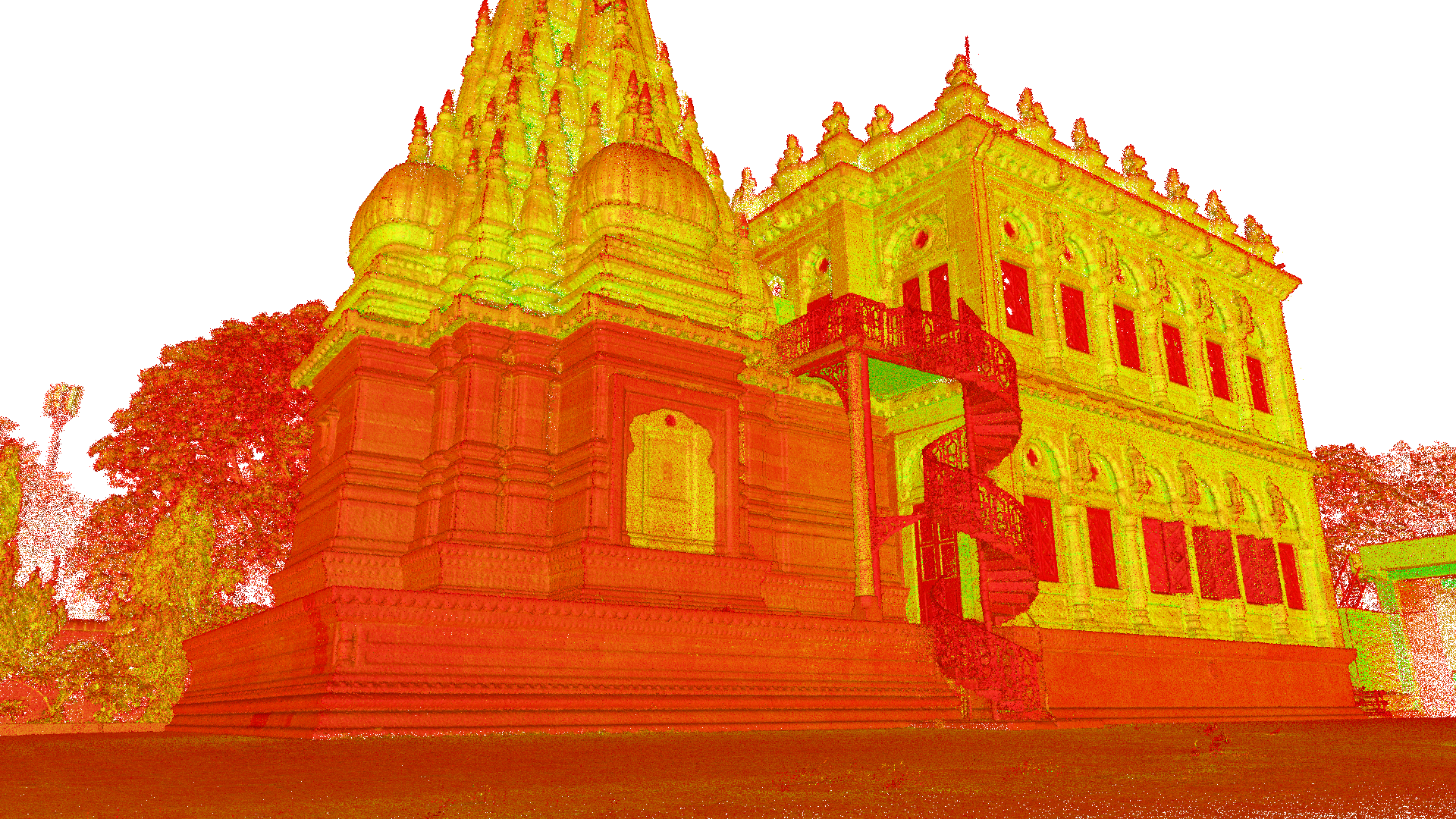
After this initial success, the team tested Artec Jet at two additioal locations. The first was Mahadji Shinde Chhatri, a memorial to the 18th-century Maratha military commander Mahadji Shinde. Capturing it took a single five-minute lap of the complex and a short climb up a spiral staircase. Even so, the resulting model picked up small features such as railings and ornamental roof details.
The second, Shaniwar Wada, was a far larger undertaking. The sprawling fortified palace includes tunnels, outdoor monuments and defensive walls that visitors can walk along. Apart from a few water-filled crevices, Jet captured the whole site in around 30 minutes.
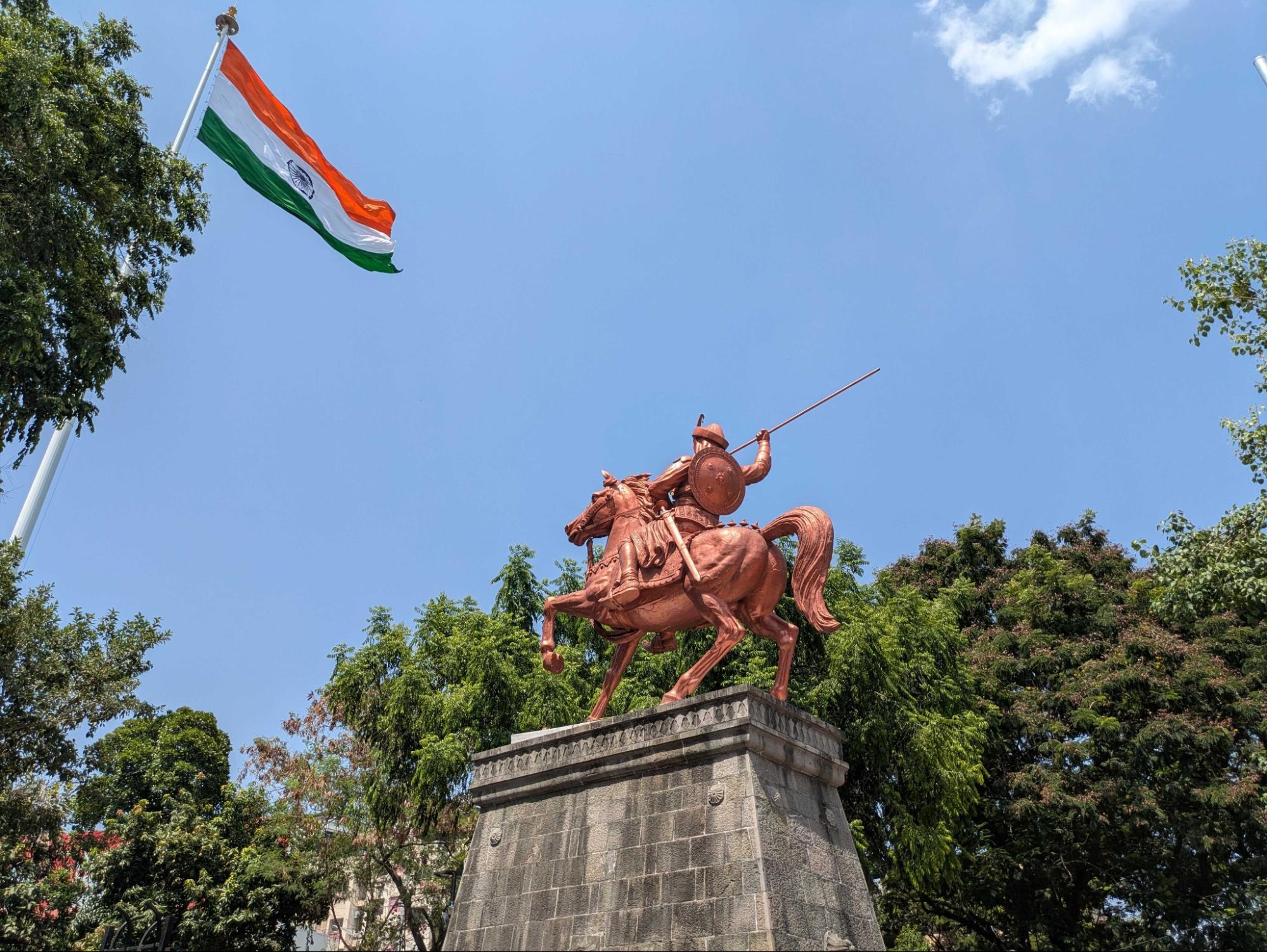
Among the features recorded was the statue of Bajirao Peshwa, the celebrated Maratha general, which stands on a raised plinth that would usually make it awkward to scan around. It came through clearly in the final dataset, right down to the spear in his hand.
The route around the site also took the team through very different spaces, including narrow, featureless tunnels, and Jet did not lose tracking at any point. Much of the palace was scanned from the top of its walls, and the team estimates that mounting Jet on a drone could have reduced capture time to roughly 15 minutes.
Altogether, these projects show how 3D scanning can make heritage documentation faster and far less intrusive, even at busy, sacred sites. Detailed 3D models support academic research, serve as a reference during restoration, and form the basis of virtual tours.
Find out more about 3D scanning for heritage preservation here.