
Summary
3d scanning services cost covers a controlled measurement and data-production workflow, not simply the time a scanner is pointed at an object. No reliable industry-wide benchmark was found because deliverables and acceptance criteria vary substantially. Artec’s manufacturer guide illustrates the spread, from $250 for smaller parts to $2,000+ for larger work, but this is one provider-published example, not a market range. [1]
Comparable quotes depend on the required output, tolerance and measurement-uncertainty needs, object or site scale, surface and access conditions, onsite logistics, post-processing, and quality-assurance evidence. The useful question is whether the delivered data is fit for the intended decision.
What a 3D Scanning Service Delivers (and What It Doesn’t)
A 3D scanning service is a defined workflow with specified files and quality checks. It is not equivalent to scanner rental or receiving whatever data happens to be captured during a visit.
- Capture/data outputs: raw scans or unregistered exports; a registered point cloud; or a georeferenced or control-tied dataset.
- Processed geometry: a cleaned point cloud; a triangle mesh; or a watertight mesh for a defined downstream use.
- Engineering/inspection outputs: an inspection or deviation report; fitted surfaces; a dumb solid; feature-based parametric CAD with a history tree; and 2D drawings or GD&T documentation.
These are separate deliverable classes, not automatic stages of one product. Mesh geometry is composed of triangles and is commonly exchanged in formats such as STL or OBJ, but it is not inherently feature-based CAD. [17]
A watertight mesh, fitted surfaces, a dumb solid, and a parametric model support different uses. Scan-to-CAD and inspection require interpretation: selecting nominal geometry, datums, alignment methods, symmetry assumptions, hole axes, fillets, dimensions, and tolerances. A reconstructed parametric history tree is therefore a distinct reverse-engineering deliverable, not an automatic result of exporting a mesh. [19]
How Scanning Projects Actually Run
A typical project follows this sequence: brief, feasibility and surface-access review, method selection, targets or control where required, then capture. The provider must establish whether coverage is physically possible and whether dark, reflective, transparent, moving, or flexible areas require preparation or a different method. Access, environmental conditions, and reference requirements can all affect the planned result before capture begins.
After capture, observations are registered and aligned, then cleaned to remove background, noise, fixtures, and other unwanted data. The team performs the agreed checks, exports the specified files, and supplies the reports or notes required for handoff. Registration residuals can indicate how well datasets fit together, but they are alignment diagnostics, not automatic proof of real-world measurement accuracy or total project uncertainty.
What Affects 3d Scanning Services Cost?
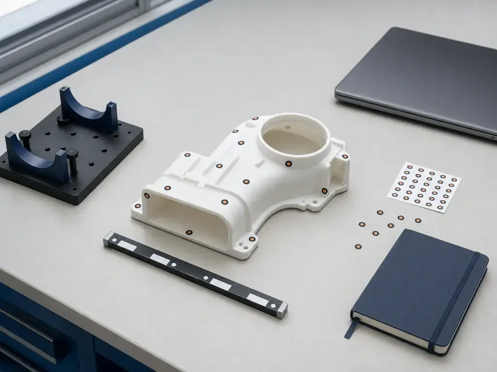
The main cost drivers are the object or site and the required result. Scale and coverage affect capture time; occlusions, difficult access, and challenging surfaces can require preparation, repositioning, or alternative measurement steps. The requested deliverable also changes the scope: a cleaned mesh, inspection report, fitted surfaces, and editable CAD model each require different processing and review.
PROMECAD, for example, identifies part characteristics, required precision, deliverable type, and urgency as quote factors. This is a provider-specific model rather than a universal rule. [3] Travel, site rules, safety requirements, turnaround, control strategy, registration approach, data QA, and downstream CAD or inspection work can also affect the quote.
Hardware price alone does not explain a quote. The relevant question is whether the proposed method, processing, validation, and handoff can meet the stated acceptance criteria.
Info That Makes Quotes Comparable
- Object or site dimensions, quantity, required coverage, occluded areas, and physical access.
- Material, surface condition, movement, lighting, and expected preparation.
- Target, control, registration, or georeferencing requirements.
- Required deliverables, formats, tolerance or uncertainty needs, and data QA.
- Travel, site rules, safety requirements, turnaround, and delivery deadline.
- Acceptance criteria, including reference data, alignment approach, critical features, and pass/fail rules.
Accuracy, Trueness, Precision, Resolution, Tolerance — plus Uncertainty
These terms address different questions. In the International Vocabulary of Metrology, measurement accuracy is the closeness of agreement between a measured quantity value and a true quantity value; it is not itself a quantity expressed by one numerical value. Measurement uncertainty is a non-negative parameter characterizing the dispersion of quantity values that could reasonably be attributed to the measurand. [7] ISO 5725 distinguishes trueness, concerning agreement between the average of repeated results and a reference value, from precision, concerning agreement among results under stated conditions. [8] Tolerance is a product requirement; uncertainty belongs to the measurement result or process used to support a decision.
Published scanner specifications can help frame method selection, but they are not project acceptance evidence. Creaform lists the HandySCAN 3D EVO Elite at 0.015 mm accuracy and 0.015 mm + 0.015 mm/m volumetric accuracy. [12] Its HandySCAN 3D MAX EVO Elite is listed at 0.075 mm accuracy and 0.075 mm + 0.010 mm/m volumetric accuracy. [13] Those specifications do not determine results on a particular object, surface, alignment strategy, working distance, or site. Project uncertainty also depends on setup, coverage, control, processing, and verification.
Resolution concerns sampling detail, not automatically the smallest feature that can be distinguished or measured. NIST cautions that theoretical lateral resolution derived from pixels and field of view does not establish the smallest distinguishable feature. [11] As device examples, Artec lists Space Spider at up to 0.05 mm 3D accuracy, up to 0.1 mm 3D resolution, and object sizes starting from 5 mm. [14] For larger scenes, a FARO Focus technical sheet lists 3D point accuracy of 2 mm at 10 m and 3.5 mm at 25 m, with a one-sigma note. It also gives range examples of 0.6–350 m at 90% reflectivity and 0.6–50 m at 2% reflectivity for listed configurations. [15] These examples show why scale, distance, reflectivity, and required outcome affect method choice.
Standards & Verification Questions for a Quote
Ask which verification path supports a claimed performance figure and whether that context matches the work. Close-range optical metrology and terrestrial laser scanning are different measurement situations. A specification is meaningful only when its test conditions, object conditions, and project acceptance plan are understood.
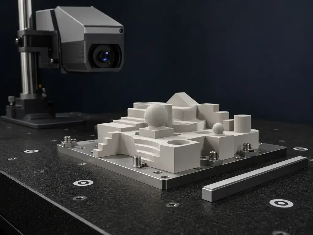
ISO 10360-13:2021 addresses acceptance and reverification testing for optical 3D coordinate measuring systems. Its applicability is limited to objects whose surface characteristics, including glossiness and colour, are within a cooperative range. [9] DIN Media lists VDI/VDE 2634 Blatt 3:2008-12 as withdrawn and notes the rule-setter’s recommendation to apply DIN EN ISO 10360-13:2023-11 instead. [18]
For terrestrial laser scanning, ASTM E3125-17 provides a test method for evaluating point-to-point distance measurement errors in medium-range spherical-coordinate 3D imaging systems. ASTM also notes that test-method performance may differ under real-world conditions such as object geometry, surface reflectance, temperature, vibration, weather, and ambient lighting. [10]
A request for quotation should turn broad expectations into an inspectable scope:
- Acceptance criteria: Define the pass/fail rule, reference or nominal definition, datum scheme or alignment method, critical characteristics, reporting format, and an uncertainty statement where required.
- Registration versus georeferencing: Specify whether local registration is sufficient or a control-tied deliverable is required. Request the control and validation plan and included quality-control checks. Caltrans distinguishes control used for point-cloud adjustment from validation points used to check adjusted scan data. [16]
- Data deliverables: State whether native project files or neutral exports are required, such as E57, PTS, or XYZ point clouds and STL, OBJ, or PLY meshes. Include the coordinate system, units, targets, registration report, photos or panoramas, and other metadata.
- CAD deliverable specificity: Define whether the requirement is mesh only, fitted surfaces, a dumb solid, or a feature-based parametric model with a history tree. Specify native and exchange formats and whether design-intent reconstruction is included. A triangle mesh should not be assumed to be feature-based CAD. [17] A parametric history tree is a separately defined reverse-engineering output. [19]
- Surface and access risks: Identify dark, reflective, transparent, occluded, moving, flexible, temperature-sensitive, or safety- and induction-constrained conditions.
Registered vs Georeferenced Point Clouds (Why Site Work Quotes Jump)
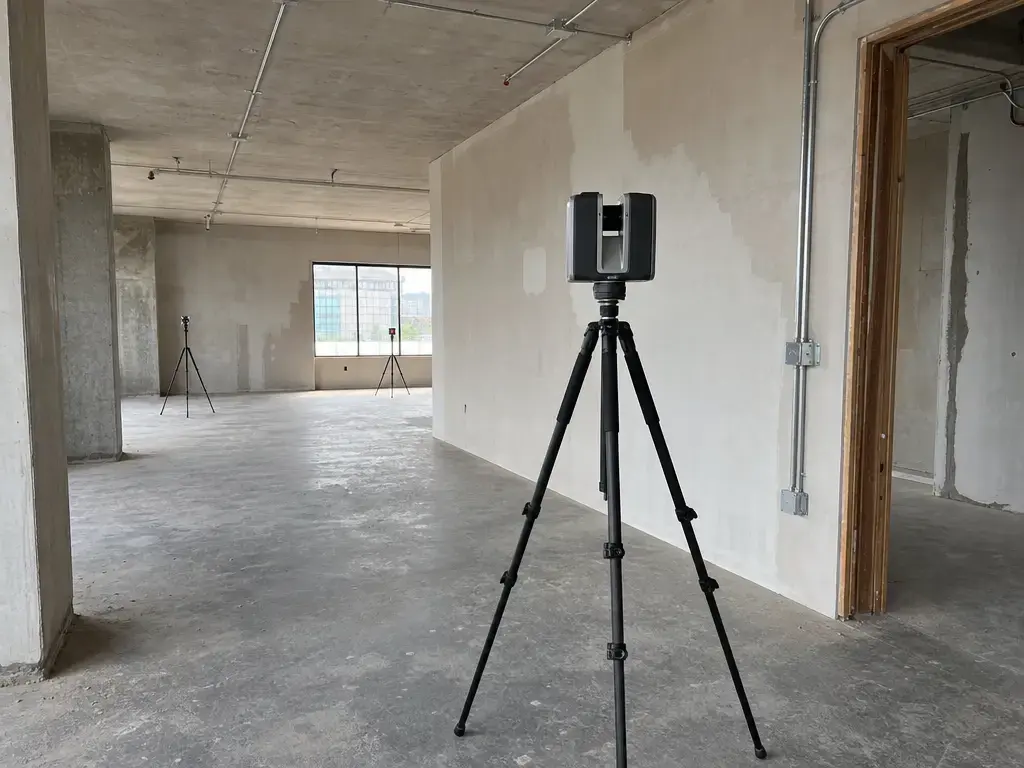
A registered point cloud may not be georeferenced or control-tied. Registration aligns overlapping scans or captures into one internally consistent dataset. A georeferenced or control-tied dataset is connected to an external project coordinate framework, such as a stated project datum, epoch, or control network. Caltrans describes local registration points as control for point-cloud adjustment and validation points as checks on adjusted scan data. [16]
That distinction changes the scope. A control-tied project can require planning and measuring control, field observations, adjustment, independent validation, reporting, and possible rework if agreed checks fail. Travel, site access, safety coordination, and restricted working windows can add further effort. Ask whether the quote includes the coordinate system, control observations, validation checks, and documentation of those checks. Two registered-point-cloud quotes can otherwise describe very different work.
Published Price Examples — How to Read Them
The figures below are provider-published illustrations, not market benchmarks, averages, or transferable rates. They are dated where dates are shown, geography-specific where geography is stated, and tied to each provider’s assumptions. Before comparing any figure, establish whether taxes, travel, software, engineering, modeling, onsite work, repair, inspection, and validation are included.
| Provider example (date, geography; source type) | Stated price | Included scope (as described) | Editorial use / caveats |
|---|---|---|---|
| Artec, 2021-04-30, geography not stated on page; manufacturer guide | Smaller parts from $250; larger work $2,000+. [1] | Part-scanning illustration. | Wide provider-published illustration only; not a market range. |
| RapidMade, date and geography not stated on page; service-provider page | Scans from $250; CAD $130/h; reverse engineering $195/h. [2] | Separate scan, CAD, and reverse-engineering line items. | Demonstrates distinct billing categories; exclusions are not a market norm. |
| PROMECAD, 2025-10-16, Spain; service-provider page | STL from €400; solid CAD €500–€1,500; CAD plus drawings €700–€2,000; 24–48-hour urgency +25%–+50%. [3] | Single-part examples; VAT excluded. | Deliverable- and urgency-driven illustration; taxes and site logistics may be separate. |
| UC Davis Tech Foundry, 2026-06-08, UC Davis; institution rate card | 1-hour minimum; quarter-hour billing; engineering $119 internal/$160 external; scanner $6 internal/$8 external; simple scan 1 hour, $30–$119. [4] | Published facility labor and equipment structure. | Illustrates separated labor, equipment, and minimums, not commercial market pricing. |
| Architecture Experience, August 2026, South Florida; service-provider page | As-built work from $0.15/sq ft; most projects under 3,000 sq ft delivered in 3–10 business days. [5] | Building-area as-built service. | Local, scope-specific starting point; coverage and travel assumptions matter. |
| TAKT 3D, 2026 page marker, San Diego; service-provider page | $125/h; 1-hour in-shop minimum; 2-hour onsite minimum; $500 per onsite day in the San Diego metro. [6] | Hourly service with onsite minimums and surcharge. | Illustrates mobilization line items; local conditions and exclusions apply. |
The useful comparison unit is not the headline amount. It is the included deliverable, acceptance evidence, access assumption, and exclusions.
When to Hire a 3D Scanning Service (vs Buy, Rent, or DIY Capture)
Hiring a specialist is often appropriate for one-off work, difficult surfaces, large sites, limited access, uncertainty-sensitive decisions, consequential inspection, control-tied documentation, or projects requiring fitted surfaces or parametric CAD. The buyer still needs to define intended use, provide access, supply reference data where applicable, and agree acceptance criteria.
In-house capture can make sense for recurring, stable work in a controlled environment where trained staff can own methods, equipment upkeep, processing, calibration or verification activities, and QA records. The case is stronger when the same downstream users and acceptance requirements recur.
| Path | When it can fit | Main buyer responsibility |
|---|---|---|
| Hire a service | Complex, infrequent, high-consequence, or reporting-heavy work | Define acceptance, deliverables, access, and reference data |
| Buy equipment | Recurring work with stable parts or sites and an internal QA pipeline | Maintain equipment, methods, training, and records |
| Rent equipment | A capable team needs temporary capacity or workflow evaluation | Select, operate, verify, insure, and return the system |
| Low-cost photogrammetry | Accessible, texture-rich objects where approximate geometry is sufficient | Control lighting, scale, overlap, processing, and fitness for purpose |
No reliable figure was found for a universal buy-versus-rent-versus-outsource break-even point. Utilization, labor, training, QA, rework risk, and the consequences of unsuitable data vary by operation.
Common Applications
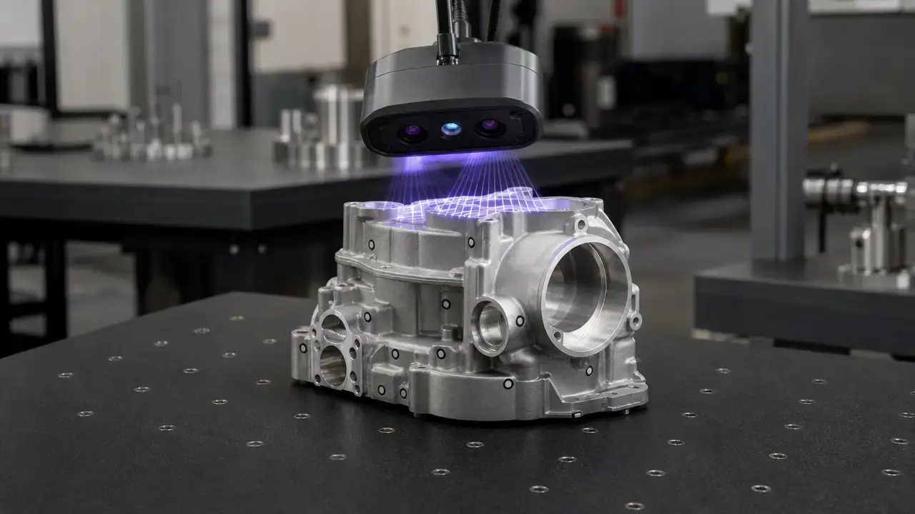
Industrial uses include documenting replacement parts where drawings are unavailable, supporting fixture design, recording wear or deformation, and creating reverse-engineering inputs. Scanning can also support inspection, but the comparison must identify the nominal reference, whether CAD, drawing dimensions, or a physical artifact, plus the alignment method and reporting convention. A deviation map without those details may show differences without establishing their engineering meaning.
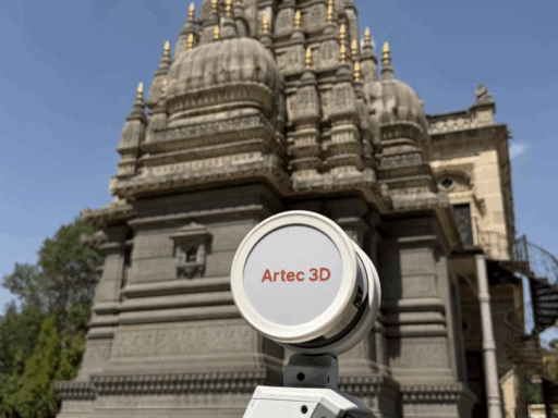
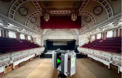
Spatial applications include as-built documentation, renovation coordination, clash investigation, facility modification planning, and digital records of existing conditions. Coverage, coordinates, control, access windows, and occluded areas can matter as much as local detail. A point cloud may support design coordination or measurement planning, while a modeled facility representation requires additional interpretation and modeling work.
Limitations & Common Failure Modes
Scanning reduces uncertainty only within an agreed scope and method. Glossy, dark, transparent, wet, or highly reflective surfaces can weaken optical capture; occlusion, deep cavities, sharp internal corners, and inaccessible areas can leave gaps. Motion, flexible parts, vibration, changing temperature, and unstable site conditions can affect alignment or comparison results. ISO 10360-13’s cooperative-surface limitation means its test context may not represent difficult production surfaces. [9] ASTM E3125-17 likewise notes that test performance can differ from field performance. [10] Missing design intent creates another risk: damage, wear, hidden features, functional datums, and symmetry assumptions may require engineering interpretation. Quotes should state assumptions, exclusions, and a response plan for failed coverage or inaccessible areas.
Making the Hire Decision
Evaluating 3d scanning services cost means comparing deliverables, acceptance criteria, measurement-uncertainty needs, coordinate framework, site conditions, and QA evidence before comparing headline prices. A lower quote may not be comparable if it excludes modeling, travel, control, validation, cleanup, reporting, or a defined response to incomplete coverage.
The procurement objective is usable, verifiable data for the downstream decision. The appropriate choice is the one that delivers that outcome with a scope the buyer can inspect and accept.
FAQ
How much do 3D scanning services cost?
No reliable industry-wide benchmark was found because size, access, surface behavior, deliverables, acceptance requirements, and post-processing differ by project. As one illustration, Artec published a range from $250 for smaller parts to $2,000+ for larger work, but it is not a market range. [1] Compare 3d scanning services cost by matching scope, validation, modeling, travel, and reporting rather than scanner time alone.
When should I hire a 3D scanning service?
Hire a specialist for one-off projects, difficult or reflective surfaces, large or inaccessible assets, demanding uncertainty needs, or decisions where inadequate data could cause costly rework. It is also appropriate when the handoff must include control-tied coordinates, inspection reporting, fitted surfaces, or feature-based parametric CAD. The buyer still needs to define intended use, access conditions, and acceptance criteria.
What affects 3D scanning services cost?
The largest variables are required coverage, object or site scale, access, occlusions, surface response, target or control requirements, requested files, turnaround, and QA. A cleaned mesh, registered point cloud, inspection report, fitted surfaces, and parametric CAD model are different scopes. Tolerance and uncertainty needs can also change the measurement plan, verification work, and reporting required before handoff.
Are 3D laser scanning services more expensive?
Not necessarily. Cost follows scope rather than the label attached to the device class. Terrestrial laser scanning can require multiple setups, broad coverage, control, validation, site coordination, and reporting; close-range work can require intensive preparation and scan-to-CAD reconstruction. Compare the range, detail, access, coordinate requirements, deliverables, and acceptance criteria rather than assuming one method is always more expensive.
What is an industrial 3D scanning service used for?
An industrial 3D scanning service can document replacement parts without drawings, support fixture design, record wear or deformation, compare manufactured parts with CAD or other nominal data, and provide geometry for reverse engineering. The intended application determines the needed output. Inspection may require a documented comparison method, while replacement-part work may need fitted surfaces, a solid model, or a feature-based CAD reconstruction.
Is a 3D scan the same as a CAD model?
No. A mesh is triangle-based geometry and is commonly exchanged through formats such as STL or OBJ. [17] It can be useful for reference, visualization, printing, or some inspection workflows, but it does not automatically contain editable features or design intent. A feature-based parametric CAD model with a history tree is a separate reconstruction deliverable that must be requested explicitly. [19]
What should I send when requesting a 3D scanning quote?
Send the object or site description, dimensions, quantity, materials, surface condition, photos, inaccessible areas, location, access restrictions, safety rules, and deadline. Define acceptance criteria: nominal or reference data, datum or alignment strategy, critical characteristics, pass/fail rule, and reporting convention. State coordinate requirements and requested native files, point-cloud exports, mesh formats, or CAD formats so suppliers can price comparable scopes.
Sources
- Artec 3D — How much does 3D scanning cost? — Manufacturer guide; 2021-04-30; accessed 2026-10-17.
- RapidMade — Reverse Engineering & 3D Scanning — Service-provider pricing page; date not shown; accessed 2026-10-17.
- PROMECAD — How much does an industrial 3D scanning service cost? — Service-provider pricing page; 2025-10-16; accessed 2026-10-17.
- UC Davis Tech Foundry — 3D Scanning, Reverse Engineering, and Data Capture — Institution service page; updated 2026-06-08; accessed 2026-10-17.
- Architecture Experience Inc. — 3D Laser Scanning Pricing — Service-provider page; August 2026; accessed 2026-10-17.
- TAKT 3D — 3D Scanning in San Diego — Service-provider page; ©2026 marker; accessed 2026-10-17.
- BIPM/JCGM — JCGM 200:2012 International Vocabulary of Metrology (VIM 3) — Metrology vocabulary; 2012; accessed 2026-10-17.
- ISO — ISO 5725-1:2023 listing page — Standard listing; 2023; accessed 2026-10-17.
- ISO — ISO 10360-13:2021 listing page — Standard listing; 2021; accessed 2026-10-17.
- ASTM — ASTM E3125-17 listing page — Standard listing; updated 2025-05-23; accessed 2026-10-17.
- NIST — Sources of Errors in Structured Light 3D Scanners — Technical paper; accessed 2026-10-17.
- Creaform — HandySCAN 3D EVO Series Technical Specifications — Manufacturer specifications; accessed 2026-10-17.
- Creaform — HandySCAN 3D MAX Series Technical Specifications — Manufacturer specifications; accessed 2026-10-17.
- Artec 3D — Artec Space Spider — Manufacturer specifications; accessed 2026-10-17.
- FARO — FARO Focus Laser Scanner Technical Sheet — Manufacturer datasheet; revised 2021-09-09; accessed 2026-10-17.
- Caltrans — Terrestrial Laser Scanning Specifications — Government manual; June 2018; accessed 2026-10-17.
- Autodesk Help — About Working with Mesh Geometry — Official documentation; 2021; accessed 2026-10-17.
- DIN Media — VDI/VDE 2634 Blatt 3:2008-12 listing — Standards listing; accessed 2026-10-17.
- Hexagon — Geomagic Design X — Manufacturer product page; accessed 2026-10-17.