
Summary
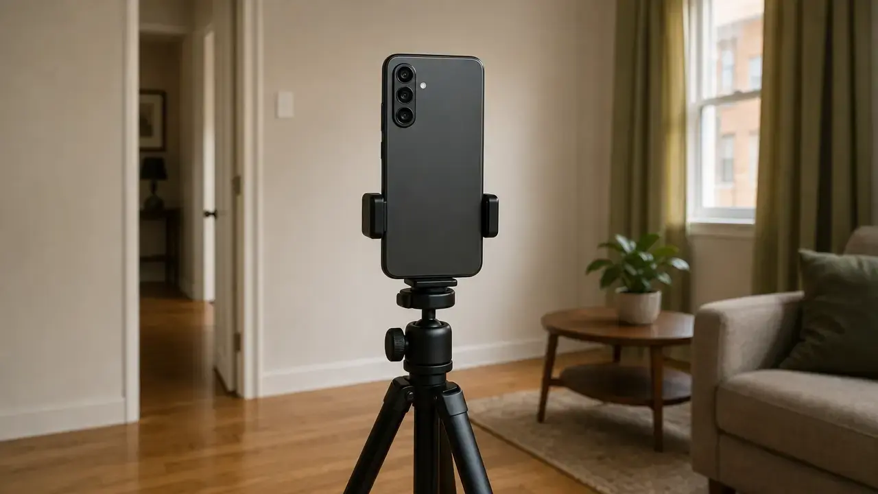
3D laser scanner for buildings price in 2026 spans a wide range because the real split is by device class and workflow, not by brand alone. A low-cost LiDAR reality-capture device such as the Matterport Pro3 starts at $3,995, a compact professional tripod TLS example such as the Leica BLK360 is listed at US $26,500, reseller-listed FARO Focus kits run from $58,314 to $84,429, and a high-end long-range example such as Artec Ray II is listed at US $97,800. [1] [3] [4] [7]
Price ranges at a glance
- Low-cost LiDAR reality-capture device: Matterport Pro3 starting at $3,995. [4]
- Compact professional TLS: Leica BLK360 at US $26,500. [1]
- Professional TLS reseller examples: FARO Focus kits published at $58,314 to $84,429. [7]
- High-end long-range example: Artec Ray II at US $97,800 recommended retail price. [3]
- Rental benchmark: average 3D laser scanner rental published at $3,046 per week, with FARO reseller monthly rentals at $5,150 and $6,500 for two Focus kit tiers. [7] [12]
- Service and deliverable benchmarks: provider guides publish commercial building scanning examples at $0.05 to $0.20 per sq ft, while all-in deliverables range from $0.02 to $0.08 per sq ft for point cloud only to $0.30 to $0.80+ per sq ft for detailed LOD 350 BIM or digital twin work. These are provider estimates, not universal market averages. [13] [14]
Laser scanner price alone is a weak budgeting number. Hardware is only part of the budget; software, accessories, registration, QA, and modeling can materially change the total project cost. For outsourced work, scanning plus a registered point cloud can be priced very differently from scan-to-BIM, and modeling often adds more cost than capture alone. [10] [11] [13] [14]
What counts as a 3D laser scanner for buildings?
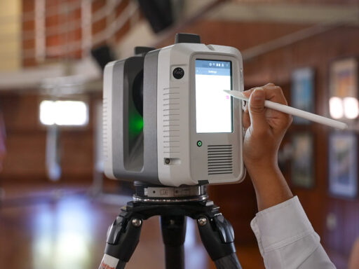
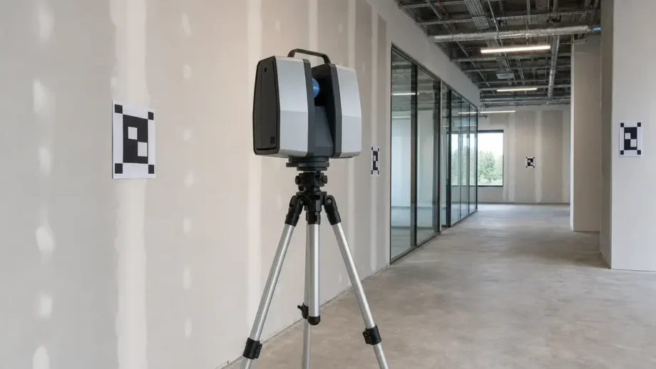
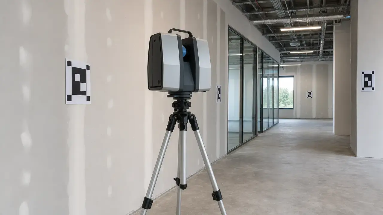
For building work, the category usually includes tripod-mounted terrestrial laser scanners, mobile SLAM LiDAR systems, and LiDAR reality-capture devices that produce building-scale spatial data and a point cloud. That is narrower than the general term “3D scanner,” which can also mean desktop or handheld systems for parts, jewelry, dental, or reverse-engineering work. In practice, LiDAR and laser scanning overlap heavily, but the more useful distinction is workflow class: static TLS, mobile SLAM, or lower-cost capture device. [4] [5] [8] [9]
- TLS / terrestrial laser scanner: a static scanner that captures from fixed setups, usually on a tripod.
- SLAM scanner: a mobile system that estimates its path while moving through a site and builds the dataset continuously.
- Point cloud: the measured 3D points produced by scanning.
- Registration: the alignment of multiple scans into one coordinate system.
Registration can be target-based, cloud-to-cloud, VIS-assisted, SLAM-based, or tied to survey control when absolute coordinates matter. ASTM E2807 / E57 is relevant here as a data-exchange format for 3D imaging data, while USIBD LOA is a building-documentation framework for specifying tolerances and deliverable expectations. They help structure workflow and handoff, but they are not interchangeable with a scanner spec sheet. [2] [9] [15] [17] [21]
Terrestrial laser scanner price by device class
Pricing makes more sense when scanners are grouped by workflow class rather than “best value” language. A low-cost LiDAR capture camera, a compact tripod TLS, a professional long-range TLS, and a wearable SLAM system can all be described loosely as 3D scanners, but they are not solving the same job. That is why terrestrial laser scanner price comparisons should start with capture class, then move to required tolerance, site size, and deliverable. [1] [3] [4] [5] [8] [9]
| Scanner class | Published example | Typical use | Cost caution |
|---|---|---|---|
| Low-cost LiDAR reality-capture device | Matterport Pro3 starting at $3,995. [4] | Fast interior and outdoor capture, visual documentation, lighter AEC workflows | Not equivalent to a professional TLS used for controlled survey workflows. [4] |
| Compact tripod TLS | Leica BLK360 at US $26,500. [1] | Interior capture, as-builts, compact professional workflows | Software and accessories can add materially to the headline hardware price. [1] [10] |
| Professional / long-range TLS | FARO Focus reseller kits at $58,314 to $84,429; Artec Ray II at US $97,800. [3] [7] | Large interiors, exteriors, verification, longer-range capture | Higher range and tighter published performance usually mean a much larger budget. [3] [5] [7] |
| Mobile SLAM LiDAR | NavVis VLX 3 with public specs but no reliable official price found. [9] | Larger interiors, rapid walkthrough capture, fleet-style work | Control, drift management, and QA can dominate the total cost. [9] [15] |
The main takeaway is that class matters more than brand popularity. Published UK and EU bundle pricing such as Leica’s BLK360 SE Essentials at £12,500 / €14,000 shows the push toward lower entry points, but that is not a U.S. hardware benchmark and it bundles software rather than matching a like-for-like U.S. shop price. [19]
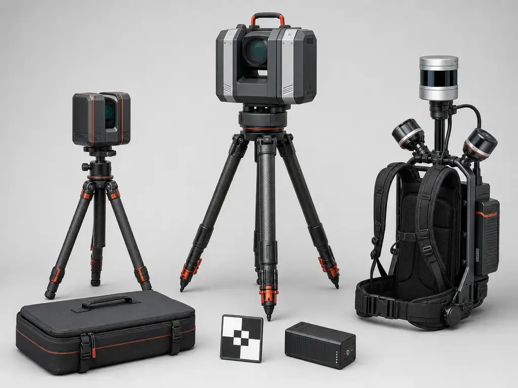
Hardware examples and published prices
The Leica BLK360 is a compact professional TLS example with an official U.S. shop price of US $26,500. Its published spec sheet lists 4 mm @ 10 m 3D point accuracy, a minimum 0.5 m to up to 45 m range, up to 680,000 pts/sec, and four user-selectable resolution settings of 6 / 12 / 25 / 50 mm @ 10 m. That makes it a useful budget anchor for a compact building scanner cost discussion, but not a proxy for every building 3D scanner cost scenario. Matterport Pro3 sits in a different class. Its official store page lists a starting price of $3,995, LiDAR depth technology, +/- 20 mm @ 10 m accuracy, 100k points per second, up to 1.5M points per scan, and a max operating range up to 100 m only with E57. It is a capable lower-cost capture device, but it is not equivalent to survey-grade TLS. [1] [2] [4]
At the higher end, FARO Focus and Artec Ray II show what happens when range and published performance increase. FARO’s official product page positions the Focus family at 100 m, 200 m, and 400 m scan-range tiers, with the mid-range Focus Premium listing 3D accuracy up to 2 mm. FARO does not publish an official MSRP on that page, so the visible U.S. numbers here come from reseller kit listings: $58,314 for a Focus Core 100M kit, $65,610 for a Focus Premium 200M kit, and $84,429 for a Focus Premium Max 400M kit. Artec Ray II is an official high-end price anchor at US $97,800 recommended retail price, with up to 130 m range, 1.9 mm @ 10 m 3D point accuracy, and 2 million pts/s. It is a useful long-range example, not the default AEC reference point for every job. [3] [5] [7]
Trimble X9 and NavVis VLX 3 illustrate another common buying reality: official specs are public, but public list prices often are not. Trimble’s official X9 page publishes up to 1000 kHz scan speed, 0.6 m to 150 m scan range, scan times from under 1 minute to 6 minutes, and 3.0 mm @ 20 m in the Premium table, but no reliable official price found. NavVis VLX 3 likewise publishes specs, including 2 × 1,280,000 points per second, up to 50 m operational range, and 5 mm point-cloud accuracy in a dedicated 500 m² test environment, but no reliable official price found. For many professional systems, laser scanner price is still shaped by dealers, bundles, region, software, and support rather than a simple public checkout page. [8] [9]
Software, accessories, and ownership costs
The scanner body is only one line item in the real budget. Ownership can also require registration software, modeling tools, batteries, chargers, tripods, targets, training, QA time, and the field or office hardware needed to move large datasets. This is one reason the headline hardware price often understates scan-to-BIM cost. Leica’s own shop separates hardware, accessories, and software, which makes the budget stack visible instead of hiding it inside a single number. [1] [10] [11]
Costs often missing from the scanner headline price
- Software subscriptions and registration tools
- Batteries and chargers
- Tripods, adapters, and targets
- Support and training
- QA and verification work
- Laptops or tablets for field and office use
- Cloud storage and transfer
- Calibration and service
- Insurance
- Downtime risk
Concrete examples show how fast those add-ons accumulate. Leica lists BLK360 accessories such as a battery at $270, a multicharger at $350, a mission bag at $235, a tripod at $480, a tripod adapter at $215, and a 1-year BLK360 CCP Bronze plan at $1,415. Leica Cyclone REGISTER 360 PLUS is listed at $5,100 for a 1-year subscription plus a required Reality Capture Subscription Base at $65. Leica’s own shop also lists Cyclone 3DR at $4,500, CloudWorx Ultimate at $2,450, and Cyclone REGISTER 360 PLUS BLK Edition at $2,650. Those figures are examples from one vendor stack, not a universal software bill, but they show why operational QA and field verification matter as much as hardware ownership. ISO 17123-9 is relevant here because it frames field procedures for determining and evaluating precision and repeatability, not because it sets a price. [1] [10] [11] [15]
Construction site 3D scanner cost: buy, rent, or hire?
For construction site 3D scanner cost, the cheapest number on paper is not always the lowest total cost. Buying makes sense when the team scans frequently and can keep both the hardware and software in regular use. Renting makes sense when demand is temporary or when the team wants to test a workflow before committing capital. Hiring a service usually makes the most sense when the goal is dependable deliverables rather than equipment ownership. [7] [12] [13] [14]
Published benchmarks help frame the choice, but they should be treated as examples. One industry article cites an average rental benchmark of $3,046 per week based on marketplace supplier quotes. A reseller listing publishes monthly rentals of $5,150 for a FARO Focus Premium 200M kit and $6,500 for a Focus Premium Max 400M kit. On the service side, one provider guide puts many commercial building scans in a $0.05 to $0.20 per sq ft band, with a 50,000 sq ft building at roughly $2,500 to $10,000 for scanning and a registered point cloud. Another provider guide places all-in point-cloud-only work at $0.02 to $0.08 per sq ft and more detailed BIM or digital twin work much higher. These are provider estimates, not a universal market average. [7] [12] [13] [14]
Decision guide
- Buy if scanning is frequent and your team can process the data. [12] [14]
- Rent if the project is occasional or you want to test a workflow first. [7] [12]
- Hire if deliverable quality, liability, or turnaround matters more than ownership. [13] [14]
Deposits, insurance, shipping, temporary software access, and operator skill often decide whether a rental really saves money. If the project also needs CAD or BIM output, the budget often shifts away from a pure capture cost and toward a deliverable cost. [7] [12] [14]
What you actually get: point cloud, mesh, CAD, or BIM
A scanner purchase or scanning service does not automatically produce a BIM model. The nearest thing to raw output is the scan data itself, followed by a registered point cloud. A mesh is a surfaced model made by connecting points into polygons, while CAD drawings and BIM models add interpretation, abstraction, and object modeling on top of the measured data. That is why a buyer should ask whether the quote covers capture only, a usable point cloud, a cleaned export, or an actual modeled deliverable. [14] [17] [21]
Deliverable ladder
- Raw scan
- Registered point cloud
- Cleaned export
- 2D drawings
- CAD / Revit model
- BIM / LOD-based model
Published pricing reflects that ladder. Arrival 3D’s guide places all-in point-cloud-only work at $0.02 to $0.08 per sq ft, Revit LOD 200 to 300 work at roughly $0.10 to $0.50 per sq ft, and detailed LOD 350 BIM or digital twin deliverables at $0.30 to $0.80+ per sq ft. ASTM E2807 / E57 matters here as interoperability context for 3D imaging data exchange, not as a performance standard. USIBD LOA is more useful for defining how accurate the deliverable must be before anyone chooses the scanner. [14] [17] [21]
Accuracy terms that affect price and scope
Accuracy is one reason scanner prices diverge, but the vocabulary needs care. Accuracy describes closeness to the true value. Precision or repeatability describes how consistently a measurement can be reproduced. Resolution or point spacing describes sampling density rather than truthfulness. ISO 17123-9 is specifically about field procedures for determining and evaluating precision and repeatability of terrestrial laser scanners and ancillary equipment. NIST’s review warns that vendors publish idiosyncratic specifications, which makes direct cross-brand comparison harder than a single millimeter figure suggests. [15] [16]
The project outcome also depends on which accuracy is being discussed. Single-scan accuracy, registered-cloud accuracy, and model accuracy are not the same thing. Local accuracy in a controlled area is not the same as global or georeferenced accuracy across a multi-floor building tied to survey control. USIBD LOA is useful because it starts from the required tolerance of the documentation deliverable instead of implying that one brochure number can describe the whole result. [16] [21]
Accuracy, resolution, range, and scan speed
These metrics drive much of the price spread, but they are not interchangeable and should stay in each vendor’s own terminology. Leica BLK360 publishes 4 mm @ 10 m 3D point accuracy, a minimum 0.5 m to up to 45 m range, up to 680,000 pts/sec, and 6 / 12 / 25 / 50 mm @ 10 m resolution settings. Artec Ray II publishes 1.9 mm @ 10 m 3D point accuracy, angular accuracy of 18 arcseconds, range accuracy of 1.0 mm + 10 ppm, range noise of 0.4 mm @ 10 m to 0.5 mm @ 20 m, and 0.5 to 130 m range. Matterport Pro3 publishes +/- 20 mm @ 10 m accuracy, 100k points per second, up to 1.5M points per scan, and up to 100 m max operating range only with E57. FARO Focus is sold in 100 m, 200 m, and 400 m classes, while Trimble X9 Premium publishes up to 1000 kHz, 0.6 m to 150 m, range noise below 1.5 mm @ 30 m on 80% albedo, and 3.0 mm @ 20 m. [2] [3] [4] [5] [8]
Range is never just a brochure number. Vendor sheets themselves qualify measurements by surface reflectivity or albedo, and real-world performance also changes with angle of incidence, dust, glass, weather, line of sight, and surface material. Dark, reflective, or transparent surfaces can weaken returns or create gaps. That is why one scanner can look impressive on paper but slow down on a cluttered site that needs more setups, more target control, or more cleanup. Points per second also does not equal real jobsite productivity, because dense data still has to be registered, checked, and turned into something useful. [2] [3] [8] [15] [16]
SLAM systems need extra caution in how accuracy claims are read. NavVis VLX 3 publishes 5 mm point-cloud accuracy in a dedicated 500 m² test environment and explicitly notes that this is local accuracy, that all accuracy statements are 1 sigma, and that absolute accuracy depends on environment size and can be controlled via control points. That is useful and transparent, but it is not the same claim as survey-controlled, whole-building, georeferenced accuracy. On projects with contractual tolerances, control points, survey ties, and verification procedures usually matter more than raw scan speed. ISO 17123-9 and NIST provide the right context for reading those claims carefully. [9] [15] [16]
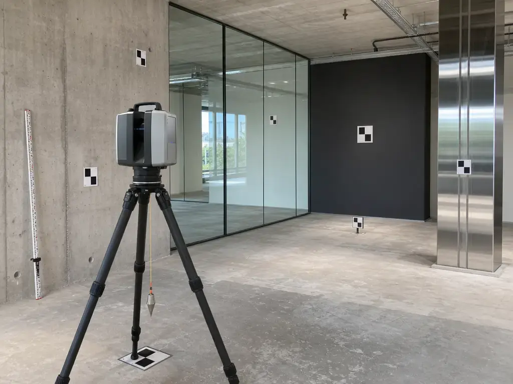
Workflow: from site capture to usable building data
The workflow that usually decides the real budget is straightforward, but every step carries labor. Start by defining the deliverable and required tolerance, because that determines whether the job needs light documentation, tight verification, or model-ready capture. Then choose scan positions and control strategy around visibility, overlap, and any need for survey ties or georeferencing. Only after that does the team capture scans and imagery on site. Standards and guidance such as ISO 17123-9, ASTM E2807 / E57, and USIBD LOA help frame how those decisions should be tested, exchanged, and judged. [15] [17] [21]
- Define tolerance and deliverable.
- Plan scan positions and control.
- Capture scans and images.
- Register and QA.
- Clean/export point cloud.
- Model or draw if required.
Control networks, targets, registration review, and survey control can dominate labor on multi-floor or georeferenced jobs. That is where hidden cost often appears: not in pressing the scan button, but in making the dataset defensible, alignable, and reusable for the intended deliverable. NIST’s review is useful here because it emphasizes standards, uncertainty, and traceability rather than marketing shorthand. [15] [16] [17] [21]
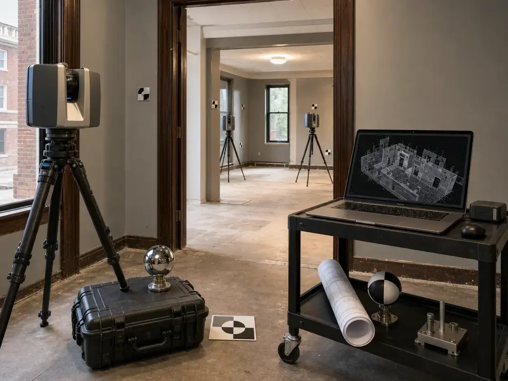
Applications in AEC, facilities, and existing buildings
In AEC, facilities, and existing-building work, terrestrial laser scanning is commonly used for:
- Renovation planning and as-builts
- Clash detection and coordination
- Floor flatness or context capture
- MEP documentation
- Façade documentation
- Heritage recording
- Facility digital twins
- Construction progress capture
The tolerance required changes by application. A point cloud that is adequate for general renovation context may not be adequate for contractual verification or a detailed BIM deliverable. That is why buyers should connect the application to the expected output and tolerance before comparing scanner prices. [14] [20] [21]
Limitations and when a cheaper scanner is not cheaper
A cheaper scanner is not cheaper if it cannot meet the project’s tolerance, range, or workflow requirements. Lower-cost capture systems can work well for straightforward documentation, but problems appear when the site needs tighter control, more precise geometry, or more reliable long-range performance. Compact systems have published range limits, and lower-cost LiDAR capture devices publish broader accuracy limits than professional TLS. If the job involves dense plant rooms, congested MEP space, reflective glazing, or contractual as-built tolerances, extra setups and extra cleanup can erase the apparent savings in hardware price. [2] [4] [15] [16] [21]
The hidden-cost pattern shows up in recurring cases: tight tolerance work, complex MEP rooms, glass-heavy interiors, safety-restricted industrial spaces, large exteriors, multi-floor registration, and projects that require defensible QA records. In those jobs, the building 3D scanner cost that matters is the cost of rework avoided, not just the purchase price. SLAM scan accuracy must not be presented as equivalent to survey-controlled whole-building accuracy without qualification. NavVis’s own VLX 3 sheet makes that distinction by labeling its 5 mm figure as local accuracy in a dedicated test environment and by noting that absolute accuracy depends on environment size and control points. [9] [15] [16] [21]
Current market context
The market in 2026 still shows a split between more accessible compact scanners and expensive professional platforms. On the lower-entry side, AEC Magazine reported Leica’s BLK360 SE Essentials bundle at £12,500 / €14,000 with a one-year subscription of Leica Cyclone Field 360 and PinPoint software. That is useful as a market signal, not as a U.S. price benchmark. The official U.S. Leica shop still lists the standard BLK360 at US $26,500, which shows how much packaging, region, and included software can change the entry point. [1] [19]
Professional systems remain expensive because the budget is not just optics and a laser head. It includes calibration, published measurement behavior, software, workflow integration, and the QA burden of defensible field results. Leica’s own software listings put annual registration and modeling subscriptions in the thousands of dollars, and ISO 17123-9 plus NIST’s review reinforce why high-end work still depends on tested procedures, uncertainty awareness, and traceability rather than simplified laser scanner price comparisons. [10] [11] [15] [16]
Which 3D laser scanner for buildings price makes sense?
3D laser scanner for buildings price makes sense only when it is matched to the job. If the need is occasional, renting or hiring is usually more rational than buying. If the work is frequent interior as-built capture, a compact TLS can start to pay for itself. If the work involves long range, large exteriors, infrastructure, or stricter control, professional or long-range TLS budgets are easier to justify. If the work is large interior walkthrough capture, mobile SLAM can make sense, but only with a clear control and QA strategy. [1] [7] [8] [9] [13] [21]
The practical choice is less scanner versus scanner than workflow versus deliverable. A Matterport Pro3-class device can be fine for lighter documentation, a BLK360-class device can fit repeated compact TLS work, and higher-end or longer-range systems justify themselves when tolerance and coverage demands rise. Trimble X9 and NavVis VLX 3 also remind buyers that some professional tools are sold through quote-driven channels rather than public checkout pages. If the project needs a BIM deliverable, budget the modeling separately instead of assuming it is included in the capture price. [4] [8] [9] [14] [21]
FAQ
What does a 3D laser scanner for buildings cost in 2026?
There is no single number. Published examples run from $3,995 for a Matterport Pro3 to US $26,500 for a Leica BLK360, with reseller-listed FARO Focus kits at $58,314 to $84,429 and Artec Ray II at US $97,800. Rental and service options sit on different curves again, with one weekly rental benchmark at $3,046 and commercial scanning provider estimates around $0.05 to $0.20 per sq ft for scanning plus a registered point cloud. [1] [3] [4] [7] [12] [13]
What is a typical terrestrial laser scanner price in 2026?
A compact professional example is Leica BLK360 at US $26,500. Professional reseller-listed FARO Focus kits are materially higher, and a high-end long-range example such as Artec Ray II is listed at US $97,800 recommended retail price. Many professional systems do not publish a simple official checkout price, so the “typical” number depends on whether you mean compact TLS, dealer-sold professional TLS, or a long-range specialty unit. [1] [3] [7] [8] [9]
Is a Matterport Pro3 enough for construction documentation?
Sometimes, yes, for lighter documentation, spatial context, and fast capture. But it should not be treated as a substitute for a professional TLS on tighter-tolerance work. Matterport’s official specs list LiDAR, +/- 20 mm @ 10 m accuracy, 100k points per second, up to 1.5M points per scan, and extended depth up to 100 m only with E57. That makes it useful for many building-capture workflows, but not equivalent to a controlled survey workflow. [4] [15] [16]
How much is construction site 3D scanner cost if I rent instead of buy?
Published rental examples vary by equipment tier. One benchmark puts average rental at $3,046 per week, while a reseller lists FARO Focus monthly rentals at $5,150 for a Premium 200M kit and $6,500 for a Premium Max 400M kit. In practice, deposits, insurance, shipping, and temporary software access can materially change the true rental cost, especially if the team also needs registration or modeling tools. [7] [12]
[Expert] What accuracy do I need for a building scan deliverable?
Start with the deliverable, tolerance, and risk, not with the scanner brochure. ISO 17123-9 is about field procedures for determining and evaluating precision and repeatability, while NIST emphasizes uncertainty, traceability, and the difficulty of comparing idiosyncratic vendor specs directly. USIBD LOA is useful because it helps frame the tolerance required for the deliverable itself. That usually leads to a better tool choice than shopping by one accuracy number alone. [15] [16] [21]
[Expert] Are SLAM scanners cheaper than tripod-mounted TLS once control and QA are included?
Not always. Mobile SLAM can reduce field time in large interiors, but the total cost can rise again if drift management, control points, registration review, or rework become significant. NavVis VLX 3’s published 5 mm point-cloud accuracy is explicitly tied to a dedicated local test environment, and the data sheet notes that absolute accuracy depends on environment size and control points. For contract-critical or georeferenced work, tripod TLS plus survey control can still be the cheaper workflow overall. [9] [15] [16] [21]
Does scan-to-BIM include the scan itself?
Sometimes, but not always. Some providers bundle capture, registration, and modeling into one price, while others separate the scan, the registered point cloud, and the BIM model. Published provider ranges show why that distinction matters: point-cloud-only work can be priced far below LOD-based Revit or BIM deliverables. A buyer should confirm the exact output, LOD target, and QA expectations before assuming the scan is included. [13] [14] [21]
Sources
- Leica BLK360 official shop. https://shop.leica-geosystems.com/reality-capture/blk360/buy
- Leica BLK360 Spec Sheet v2. https://shop.leica-geosystems.com/sites/default/files/2025-07/BLK360-Spec-Sheet-v2.pdf
- Artec Ray II official product page. https://www.artec3d.com/portable-3d-scanners/laser-ray
- Matterport Pro3 official store product page. https://matterport.com/store/product/cam-mc300-x
- FARO Focus Laser Scanners official product page. https://www.faro.com/Products/Hardware/Focus-Laser-Scanners
- FARO Focus technical specification sheet. https://knowledge.faro.com/Hardware/Focus/Focus/Technical_Specification_Sheet_for_the_Focus_Laser_Scanner
- 4K Equipment scanner listings. https://4kequipment.com/scanners/
- Trimble X9 official product page. https://geospatial.trimble.com/en/products/hardware/trimble-x9
- NavVis VLX 3 data sheet. https://www.navvis.com/resources/specifications/navvis-vlx-3
- Leica Cyclone REGISTER 360 PLUS official shop. https://shop.leica-geosystems.com/reality-capture/software/leica-cyclone-register-360-plus/buy
- Leica reality capture shop listings. https://shop.leica-geosystems.com/reality-capture/shop?blk_store%5B0%5D=product_category_blk_shop%3A84&blk_store%5B1%5D=product_category_blk_shop%3A266&blk_store%5B2%5D=product_line_blk_shop%3A92&blk_store%5B3%5D=product_line_blk_shop%3A816&blk_store%5B4%5D=product_line_blk_shop%3A821&blk_store%5B5%5D=product_line_blk_shop%3A1241&blk_store%5B6%5D=product_type_blk_shop%3A13&blk_store%5B7%5D=product_type_blk_shop%3A14&blk_store%5B8%5D=product_type_blk_shop%3A16&blk_store%5B9%5D=product_type_blk_shop%3A726&page=0
- GPRS article on renting vs buying vs hiring 3D laser scanning. https://www.gp-radar.com/article/3d-laser-scanning-rent-vs-buy-vs-hire
- ZEALOT 3D laser scanning cost guide. https://zealotrecap.com/blog/how-much-does-3d-laser-scanning-cost/
- Arrival 3D laser scanning cost guide. https://arrival3d.com/3d-laser-scanning-costs/
- ISO 17123-9:2018. https://www.iso.org/standard/68382.html
- NIST review: Performance Evaluation of Terrestrial Laser Scanners. https://www.nist.gov/publications/performance-evaluation-terrestrial-laser-scanners-review
- ASTM E2807 Standard Specification for 3D Imaging Data Exchange, Version 1.0. https://store.astm.org/e2807-11.html
- ASTM committee press release on 3D imaging data exchange. https://www.astm.org/news/press-releases/astm-3d-imaging-systems-committee-approves-new-standard-data-exchange
- AEC Magazine on Leica BLK360 SE Essentials launch. https://aecmag.com/reality-capture-modelling/leica-blk360-se-essentials-launches/
- All3DP building scanner explainer. https://all3dp.com/2/3d-building-scanner-how-to-3d-scan-a-building/
- USIBD Level of Accuracy (LOA) Specification, Version 3.1 (2025). https://usibd.org/product/loa-version-3-1/