
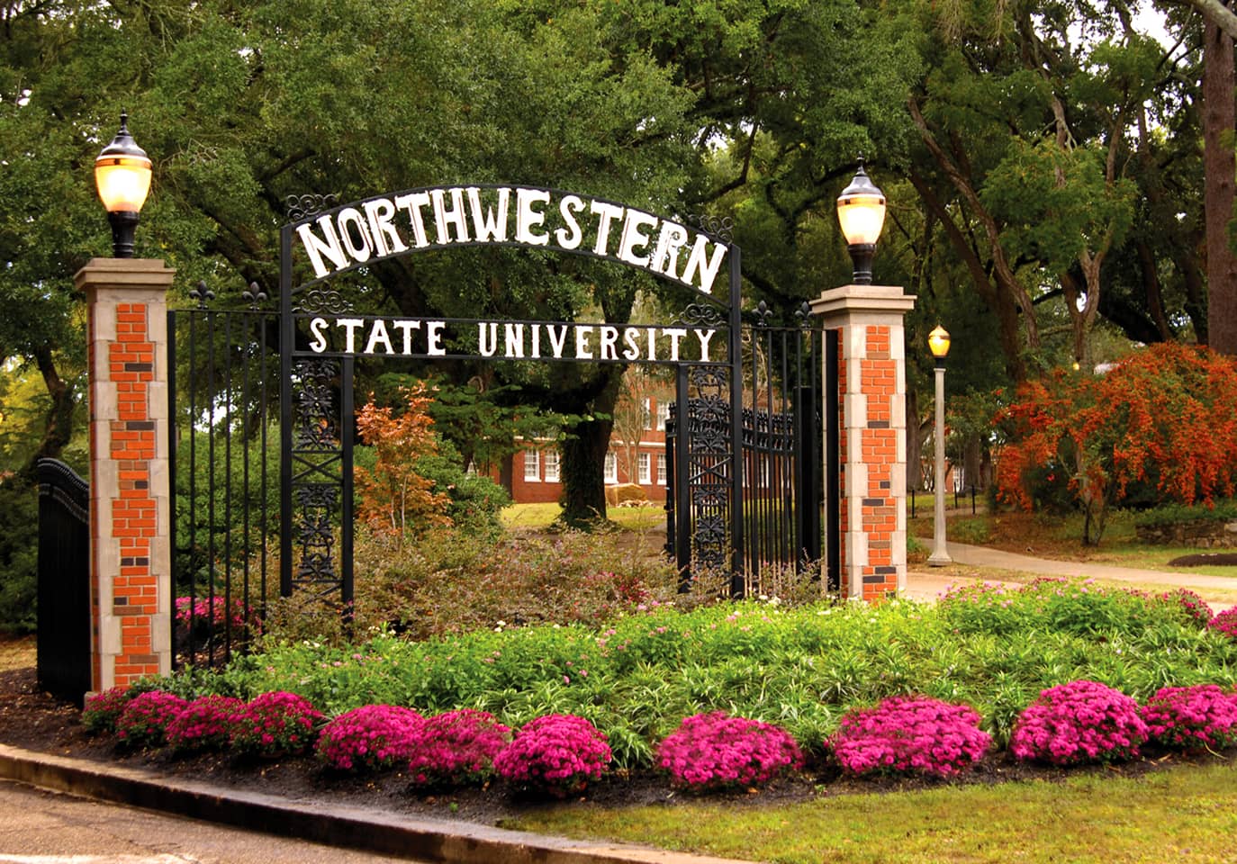
Northwestern State University (NSU) has been awarded $1.5 million by the National Park Foundation to fund the conservation of historic buildings and landscapes.
Over the next two years, NSU will work with the National Park Service’s National Center for Preservation Technology and Training (NCPTT) to develop a tool for assessing the level of risk facing historic sites – particularly those based in the organization’s Southeast Region.
Jason Church, director of NSU Technical Services, said his team will visit Park Service sites to gather the data needed to judge their exposure to flooding.
“We will go in and make 3D models of the landscape,” Church said. “We take really precise GIS coordinates to figure out the elevation and where those are on the global plane, and we can then do predictive modeling and try to estimate what risk those buildings might have, both historic buildings and historic landscapes.”
NSU’s LiDAR 3D scanning plans
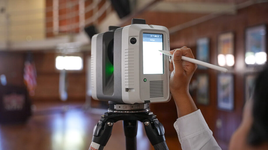
Two technologies sit at the center of the project. Geographic information systems (GIS) will map each site and record its position and elevation, while LiDAR (light detection and ranging) laser scanning will capture buildings and terrain as detailed 3D models. Combined, they will show how floodwater could reach each site.
Much of the fieldwork will fall to Megan Reed, NSU’s senior laser scanning research associate.
“I go around surveying and doing 3D laser scans and creating 3D replicas of historic buildings, landscapes, structures, monuments, cultural resources and artifacts across the country,” Reed said. “I turn them into 3D models that become a digital space to create tours, renovation plans and even advanced CAD or historic documentation projects and drawings for the sites.”
For Reed, the work has particular urgency close to home. “Louisiana is one of the main states that gets affected by flood elevation, especially along the southern border, where a lot of our historic sites have been lost,” she said. “This project will be a stepping stone to even greater projects to help protect our national history.”
The results will feed into a National Cultural Resource Risk Atlas that site managers can use to plan conservation work. The grant also covers new staff, contractors and upgraded LiDAR and GIS equipment.
Time-tested for heritage preservation
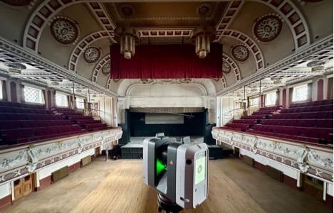
Laser scanning is now widely used to record heritage sites before they are damaged or lost. In Montreal, Artec partner Solidxperts captured the Notre-Dame Basilica with the long-range Artec Ray II from around 25 positions in a few hours. In England, Europac3D used it to document Burslem’s Queen’s Theatre, whose original drawings had been lost, ahead of its renovation.
Mobile scanners are cutting time on site, too. Artec specialists recently mapped India’s 16th-century Bull Temple in about an hour, pairing the backpack-mounted Artec Jet with Ray II for the wall carvings. In Ukraine, Skeiron have also used the handheld Artec Leo to digitize more than 200 museum artifacts at risk from the war.
For NSU, the aim remains long-term protection. “These historic sites make up and tell the story of our foundation, and we want to make sure that these sites are around for a longer period of time,” added Church.