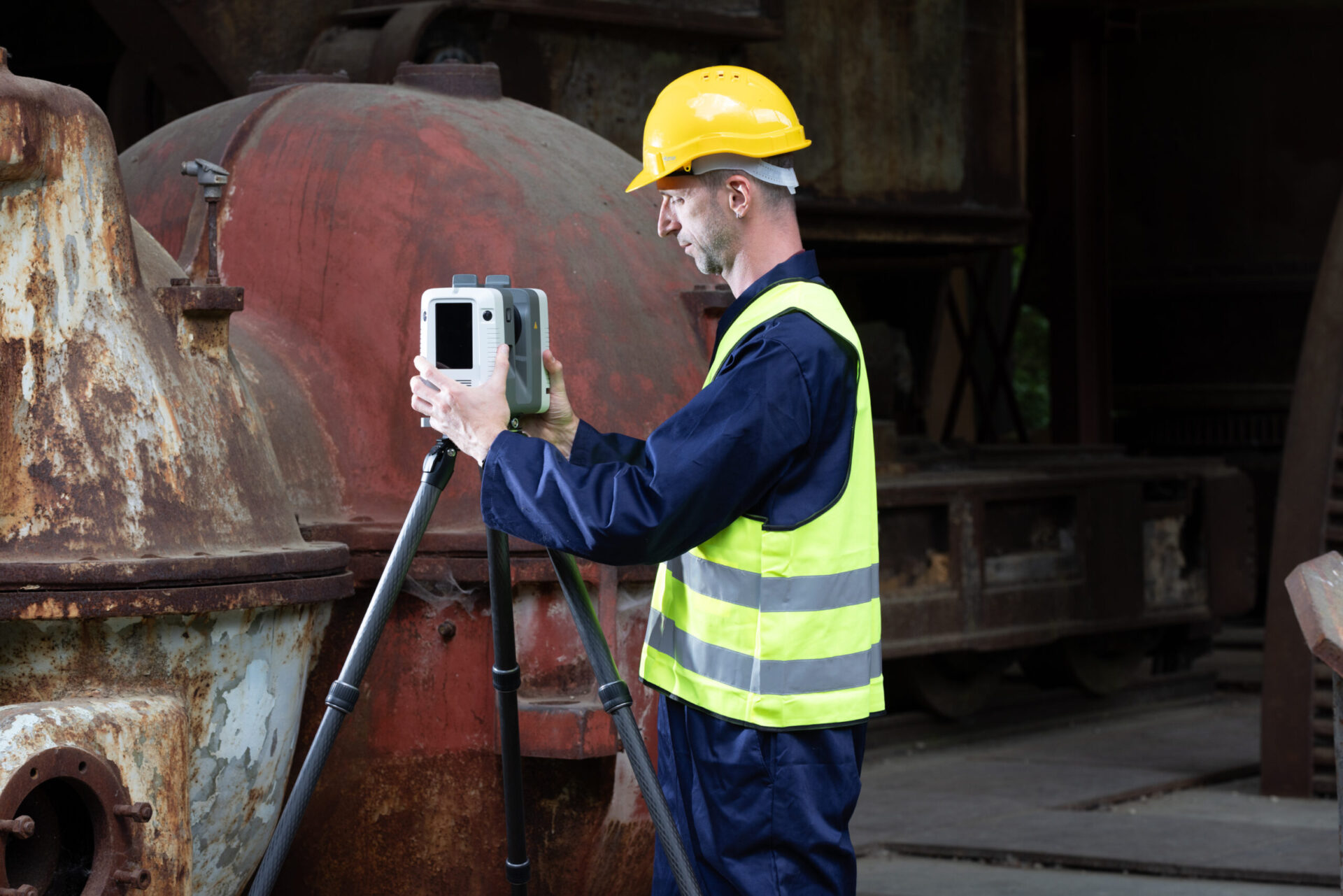

So, what is LiDAR? LiDAR stands for “light detection and ranging,” and depending on how it’s deployed, the technology can record anything from elevation changes, pits and vegetation to individual buildings and entire cities. Resulting 3D models can then be rotated, examined, and explored.
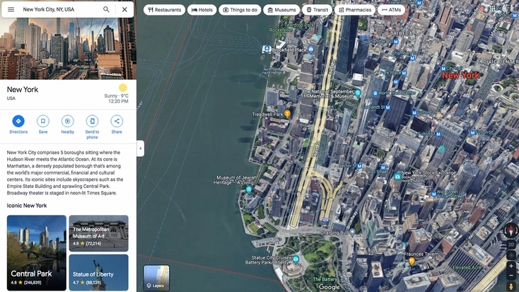
Popular mapping services like Google Earth allow users to navigate incredibly lifelike digital versions of real-world environments. However, their utility is restricted to visualization.
The real value of LiDAR lies in the measurements behind the images. Engineering, construction and urban planning all depend on reliable data about the shape and dimensions of large surfaces. Take a new road through mountainous terrain. Its length is not the straight-line distance between its two end points; every rise and fall adds to it, and to the material and time a project will need.
Surveying routes on-foot would be slow and imprecise. An airborne LiDAR survey captures terrain in a fraction of the time. And data can easily be stitched together and analyzed with today’s 3D scanning solutions and industry software.
How does LiDAR work?
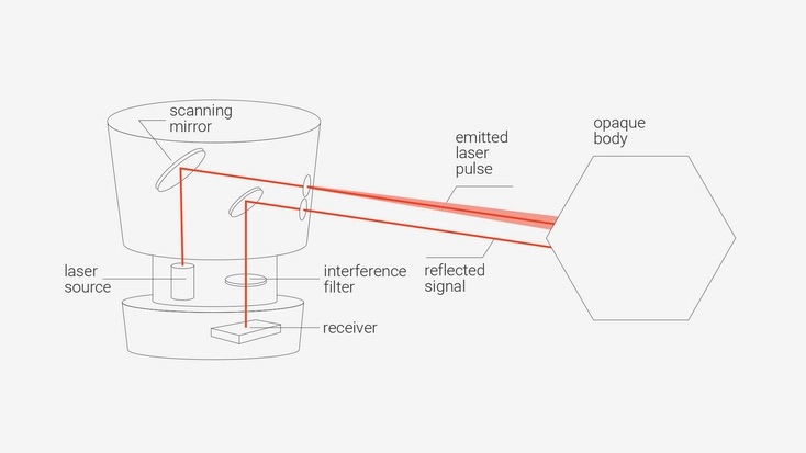
LiDAR sensors scan their surroundings by emitting laser light. When this light strikes a surface, part of it is reflected back toward the device, which detects the returning signal. From that signal the system calculates the distance to the surface, either by timing how long the light took to return or by analyzing how the returning wave has shifted relative to the outgoing one.
Every LiDAR sensor has two core components: a transmitter and a receiver. In the most common approach, the transmitter fires a rapid series of laser pulses, often hundreds of thousands or millions per second, toward the area being scanned. Each pulse is reflected, or backscattered, by the surface it hits, and the receiver picks up the return. Timing electronics measure the delay between emission and return. The longer the delay, the further away the surface. This method is known as time-of-flight scanning.
A scanner on a tripod knows exactly where it is standing. A scanner on an aircraft, vehicle or backpack does not, so mobile and airborne systems add an inertial measurement unit (IMU), which combines accelerometers and gyroscopes, together with satellite positioning to record the sensor’s position and orientation at the moment each pulse is fired.
Software combines the distance measurements with this positional data to produce a point cloud: millions of points, each with its own X, Y and Z coordinates, describing the scanned surface in three dimensions.
What is phase-shift scanning?
The second main approach is phase-shift scanning. Instead of discrete pulses, a phase-based scanner emits a continuous, modulated laser beam and compares the phase of the returning light with that of the outgoing beam. The size of the shift reveals the distance traveled.
For many years the choice between the two methods was a trade-off between speed and range. Phase-based scanners captured hundreds of thousands of points per second, while early time-of-flight instruments managed only a few thousand. Time-of-flight, on the other hand, could measure much further, from around a meter out to a kilometer or more.
That gap has now narrowed. Modern time-of-flight scanners such as Artec Ray II capture up to two million points per second. Phase-based instruments, like the FARO Focus, remain fast and precise at a short-to-medium range. For longer distances, pulse-based time-of-flight remains the standard. Riegl scanners, for instance, can measure from over a kilometer away.
How accurate are LiDAR scanners?
Depending on the scanner and conditions, LiDAR accuracy ranges from sub-millimeter levels to several centimeters. Several factors influence the quality of data.
The first is calibration. Every scanner is calibrated against targets of known reflectivity at known distances, and the resulting error model is stored in its software. No calibration can cover every surface a scanner will meet in the field, so readings from unfamiliar materials are corrected using values from surfaces with similar properties.
The second is range noise, the scatter of individual measurements around the true distance to an object. It increases with distance and varies with how reflective the surface is: dark, shiny or transparent materials return weaker or less predictable signals than matte, light-colored ones.
Third, mechanical components wear and drift over time, which is why manufacturers recommend periodic recalibration. Finally, the environment plays a part. Wind, direct sunlight, temperature and moisture in the air can all disturb the laser signal and degrade the data.
A high-end terrestrial scanner such as Artec Ray II quotes a 3D point accuracy of 1.9 mm at 10 m and range noise of 0.4 mm. The SLAM-based LiDAR Artec Jet delivers peak accuracy of ±10 mm, while airborne systems covering large areas typically work to a few centimeters.
Types of LiDAR
LiDAR scanners fall into three broad categories: stationary, airborne and mobile. Each balances accuracy, coverage and speed differently.
Stationary LiDAR scanners
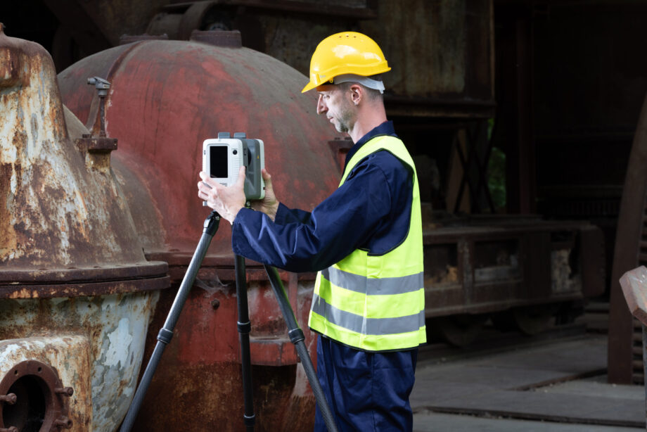
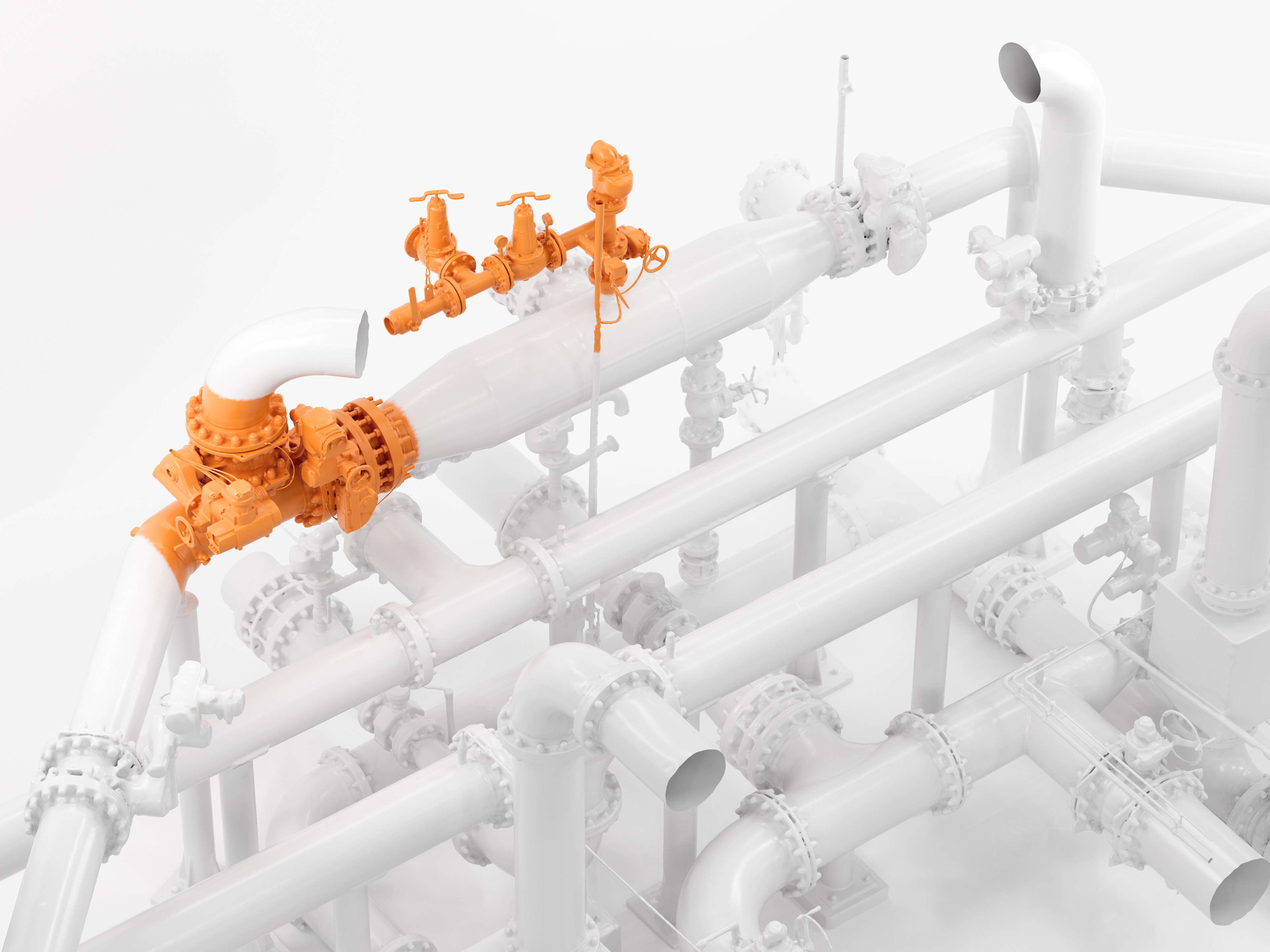
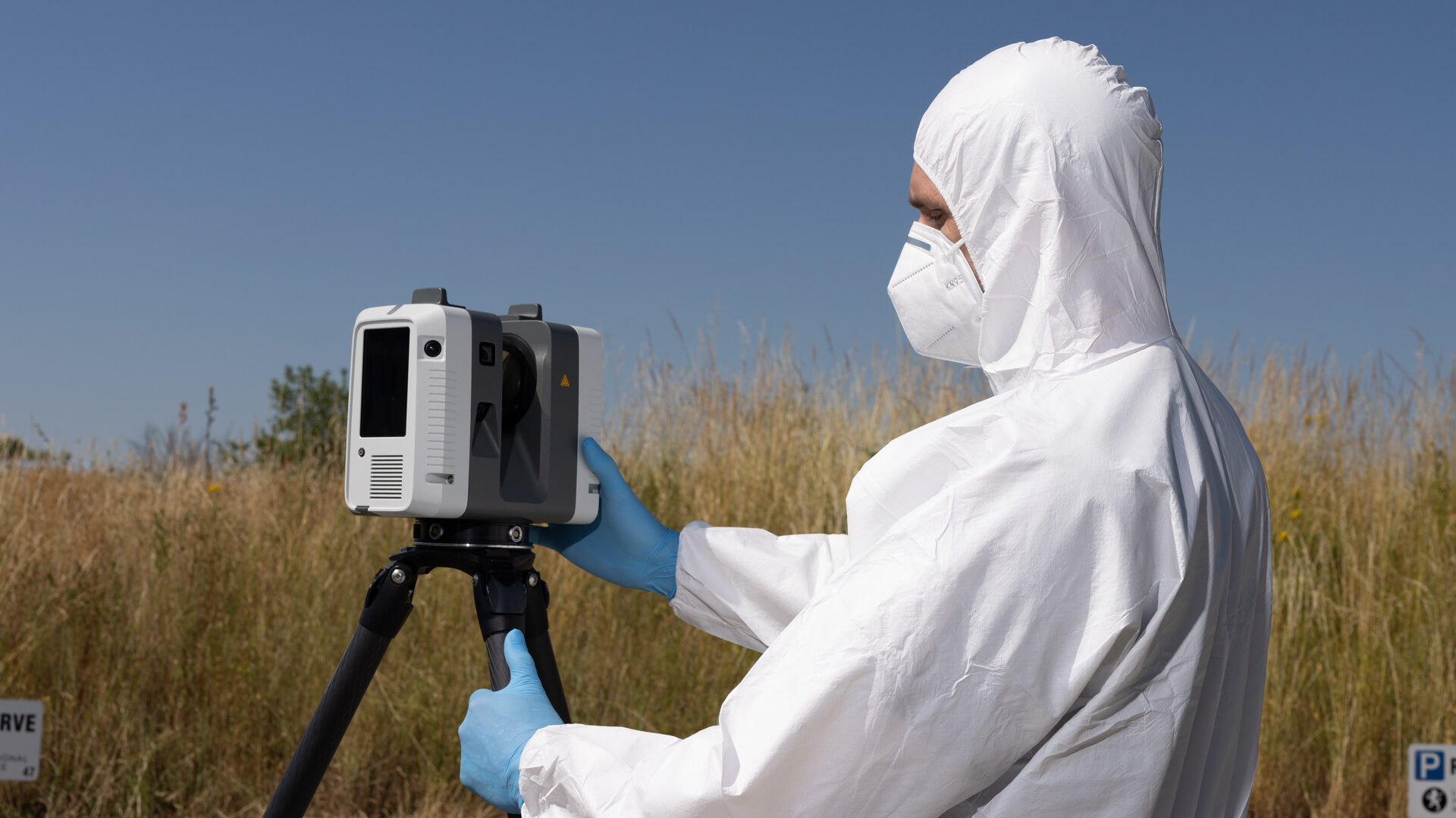
Terrestrial tripod-mounted 3D scanners can be used to capture rooms, buildings, industrial plants, or vehicles, including cars, ships and aircraft. Retrofitting pipework, planning building repairs or reverse engineering an aircraft fuselage all require precise dimensions of large surfaces, often high above ground. Tripod-mounted scanners can capture these without scaffolding.
The same instruments are used in architecture, engineering and construction, aerospace, heritage preservation and forensics, where investigators use them to document crime and accident scenes.
The workflow is simple. Scanners are set up on a tripod in front of the target object or area. The device is moved between several positions, before scans are aligned into a single point cloud.
Registration has traditionally relied on targets, such as checkerboards or spheres placed around the site, which speed up alignment and improve accuracy but take time to place. Several current scanners can work without them. Artec Ray II uses a visual-inertial system, which tracks its movement between positions for pre-alignment. Other leading stationary scanners include the Leica RTC360, FARO Focus, Trimble X9, and Z+F Imager.
Pros: Stationary scanners offer the highest accuracy and lowest noise of any LiDAR category, which makes their data suitable for engineering, metrology and inspection. Results are highly repeatable, and fixed positions produce dense, evenly distributed point clouds.
Cons: Covering a large or complex site requires many setups, each taking a minute or more, so fieldwork can be slow. The equipment is heavier than handheld alternatives, and every position needs line of sight, which leaves gaps behind obstructions unless additional scans are taken.
Airborne LiDAR scanners
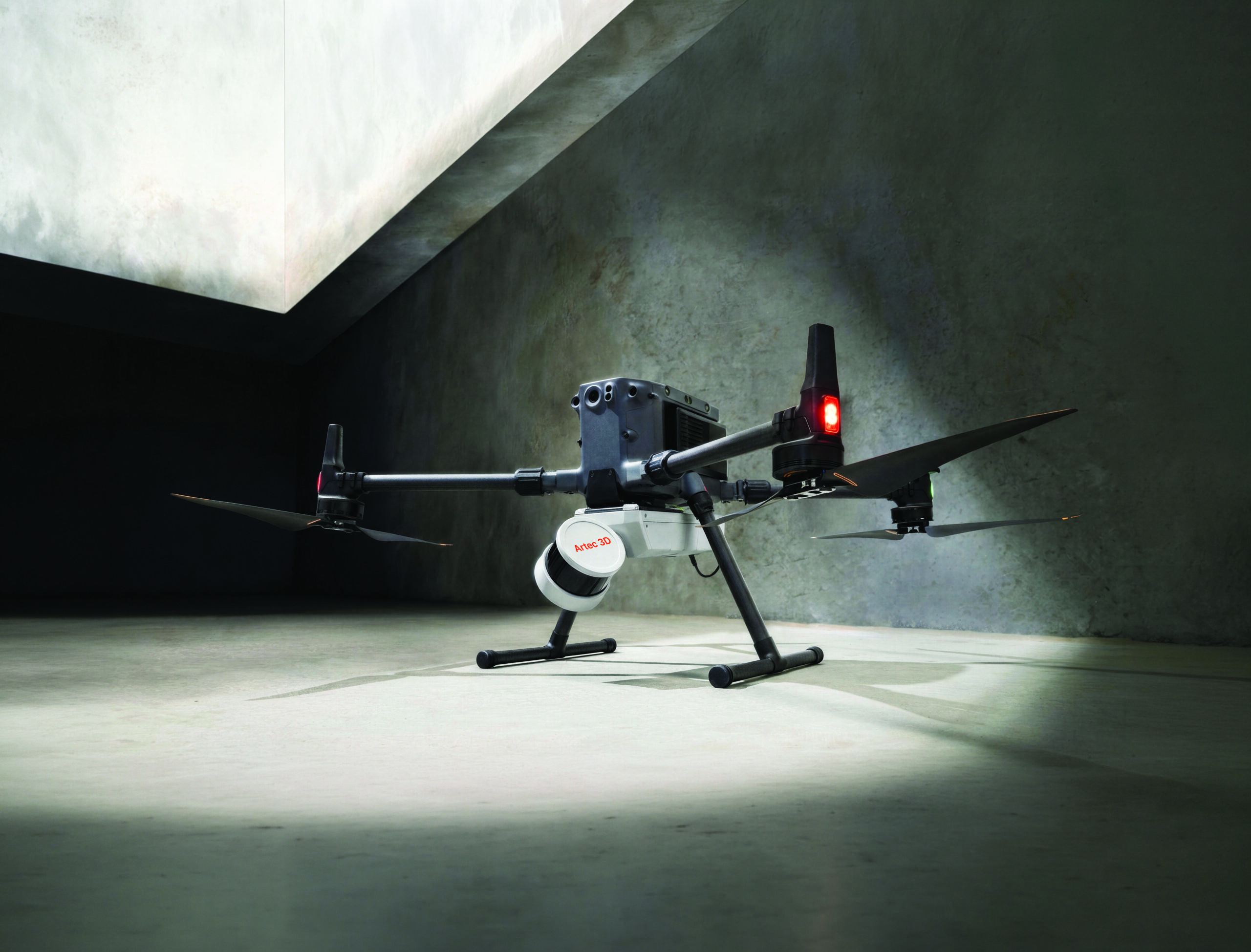
Mounted to planes, helicopters or, increasingly, drones, airborne LiDAR systems capture terrain across hundreds of square kilometers. It’s the standard tool for topographic mapping, flood modeling, forestry and corridor surveys for roads, railways, pipelines and power lines. Because laser pulses can pass through gaps in a forest canopy, airborne LiDAR can also map the ground beneath dense vegetation, something aerial photography cannot do.
Manufacturers in this field include Riegl and Leica Geosystems for crewed aircraft, and DJI, whose Zenmuse L-series sensors are widely used on survey drones. Some mobile scanners can also be adapted to fly: Artec Jet, for example, can be mounted to a drone as well as carried by hand, or attached to an accessory, whether it be a backpack, pole, cage, car, or robot.
Pros: Airborne systems cover vast areas quickly and reach terrain that is inaccessible or dangerous on foot. They can also capture the ground surface through vegetation.
Cons: Accuracy is measured in centimeters, not millimeters, which is sufficient for most large-scale projects but not for detailed engineering.
Mobile LiDAR scanners
Mobile LiDAR sits between the other two categories, trading some of the accuracy of a stationary scanner for far greater speed and coverage. Vehicle-mounted systems are used to map roads and urban environments while driving at traffic speed.
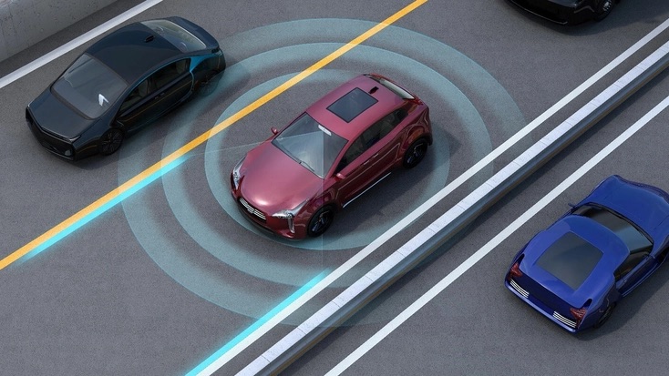
The best-known mobile application is the autonomous vehicle. LiDAR sensors from companies such as Hesai and Valeo scan the area around a car continuously, measuring the distance to other vehicles, pedestrians and obstacles in real time so that the driving system can avoid them.
Another fast-growing branch of mobile LiDAR is the handheld or wearable SLAM scanner. SLAM, short for “simultaneous localization and mapping,” allows devices to work out its own position from the data it is capturing, so operators can simply walk through a building, tunnel or site while it records. Artec Jet is one such scanner. It weighs 1.57 kg, captures up to 1.9 million points per second over a range of up to 300 meters.
Other systems in this category include the Leica BLK2GO, NavVis VLX, FARO Orbis, and Emesent Hovermap. Typical applications include mining, construction progress monitoring, as-built documentation, and the creation of digital twins for manufacturing facilities.
Pros: Mobile and SLAM systems capture large or complex spaces many times faster than a tripod scanner, with far less effort from the operator. They work in confined or GNSS-denied environments, and single operators can document entire buildings in one walkthrough.
Cons: Accuracy is lower than that of stationary scanners, typically around a centimeter for handheld SLAM devices. Because positioning is calculated on the move, small errors can accumulate over long routes, known as drift, and results depend on careful route planning.
iPad Pro and iPhone Pro LiDAR
LiDAR has also reached consumer devices. Apple fits LiDAR sensors to its Pro iPads and, since the iPhone 12 Pro, its Pro iPhones. With a range of around five meters, the sensor supports augmented reality apps such as IKEA Place, which shows virtual furniture in the user’s own room, and games that turn the surrounding space into a playing field.
Apple’s sensor lacks the accuracy and resolution needed for industrial work, but it has prompted a wave of scanning apps and introduced millions of people to 3D scanning once confined to surveyors and metrology engineers.
Pros: The sensor is built into devices many people already own, it is quick and easy to use, and it needs no additional hardware.
Cons: Short range, low resolution and limited accuracy make it unsuitable for professional measurement, inspection or engineering.
LiDAR software
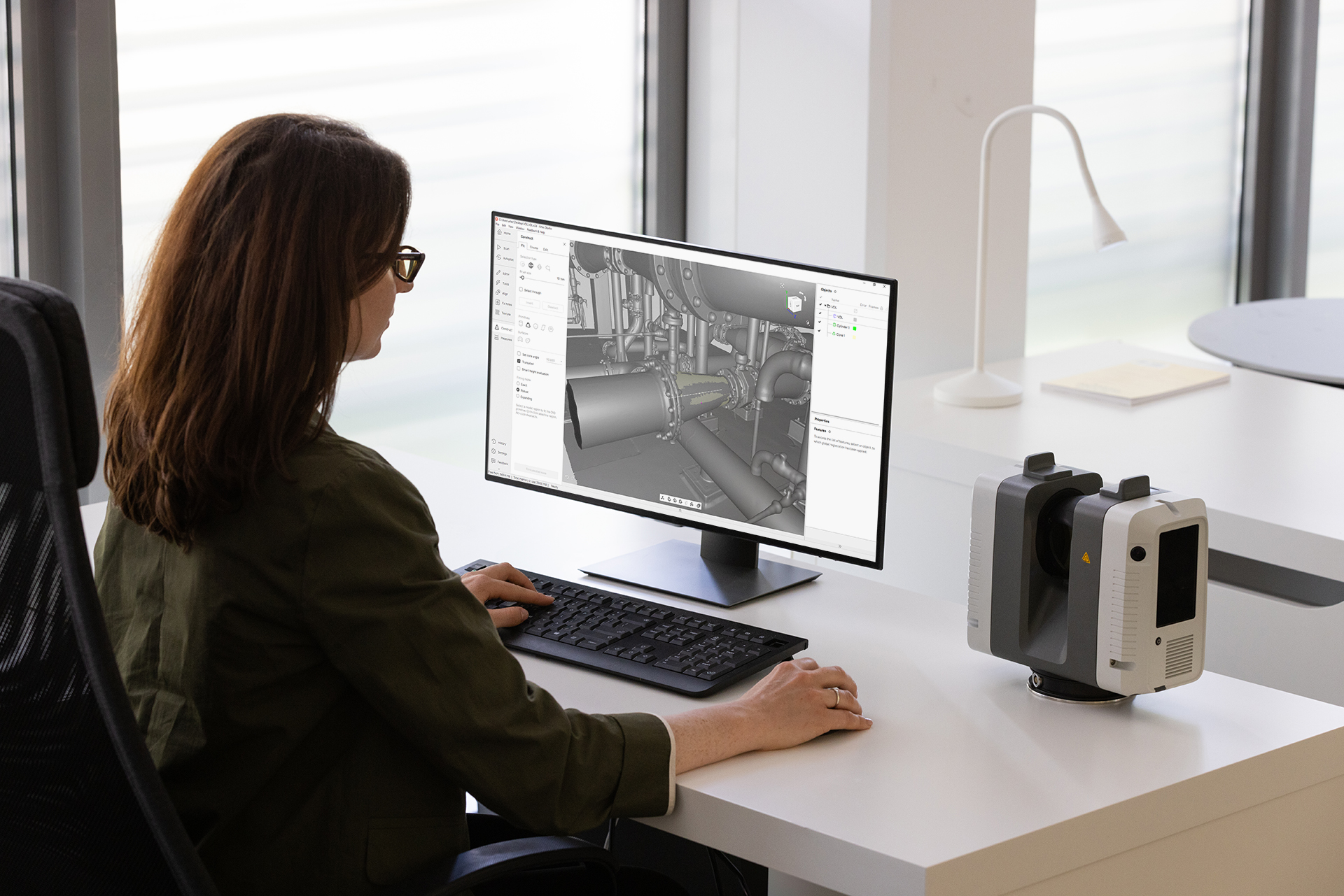
Scan data needs processing before it can be used. Raw scans have to be cleaned of noise and stray points. They are then registered into a single point cloud and, where needed, georeferenced, which ties them to real-world coordinates. Only then can anyone take a reliable measurement. The point cloud can then be turned into a 3D mesh, compared with design data or exported to CAD, BIM and GIS applications.
Most scanner manufacturers supply their own processing software: Leica Geosystems has Cyclone, FARO has SCENE and Trimble has RealWorks. Vendor-neutral packages such as Autodesk ReCap and the open-source CloudCompare handle data from a wide range of devices. Point clouds are usually exchanged in open formats such as E57 and LAS, so data captured on one system can be processed on another.
Artec 3D’s platform for large-scale data is Artec Twins. It processes data from Artec Jet and works with the company’s other scanners, including Artec Ray II. It is designed to process, merge, georeference, visualize and inspect very large datasets, and it renders scenes containing billions of points in real time.
Its analysis tools include measurements of distance, area and volume, cross-sections, and deviation maps that compare scan data against CAD models. Data can be exported in formats including LAS, LAZ, PLY, DXF and E57. Twins also includes the processing features of Artec Studio, the company’s software for handheld scanners – and it can generate Gaussian splats, photorealistic reconstructions built from photographs, video, or LiDAR point clouds.
Conclusion
LiDAR underpins the planning of roads and buildings, aircraft inspection, heritage preservation, and autonomous navigation. Choosing the right scanner depends on the job: stationary scanners for accuracy, airborne systems for coverage, and mobile and handheld systems for speed. With capture rates rising and handheld devices becoming more capable, the choice is wider than ever.
Frequently asked questions
What does LiDAR stand for?
LiDAR stands for “light detection and ranging.”
What is the difference between time-of-flight and phase-shift LiDAR?
A time-of-flight scanner fires short laser pulses and measures how long each one takes to return. A phase-shift scanner emits a continuous, modulated beam and calculates distance from the offset between the outgoing and returning waves.
How accurate is LiDAR?
High-end stationary scanners achieve an accuracy of anywhere between 2 mm at 10 m, handheld SLAM scanners typically work to around a centimeter, and airborne systems to a few centimeters. Distance, surface reflectivity, calibration and weather all affect the result.
What is SLAM LiDAR?
SLAM stands for simultaneous localization and mapping. SLAM scanners calculate their own position from data captured on the move, so operators can walk through sites while scanning rather than setting up a tripod at fixed positions.
Can LiDAR see through trees?
Not through solid foliage, but laser pulses can pass through gaps in a canopy and reach the ground below. By separating the returns from leaves, branches and ground, airborne LiDAR can map terrain beneath forest cover, which aerial photography cannot.
Does LiDAR work in the dark?
Yes. LiDAR provides its own light source, so it measures geometry equally well by day or night. Scanners that add color to the point cloud using built-in cameras do, however, need adequate lighting for that part of the capture.
Is LiDAR safe for the eyes?
Most professional terrestrial and handheld scanners, including Artec Ray II and Artec Jet, use Class 1 lasers, which are considered eye-safe under normal use. Laser class varies between products, so it is always worth checking the manufacturer’s specifications.
Can a smartphone LiDAR sensor replace a professional scanner?
No. The LiDAR sensors in Apple’s Pro iPhones and iPads have a range of around 5 m and are designed for augmented reality and casual scanning. They lack the accuracy, resolution and range needed for engineering, inspection or surveying.