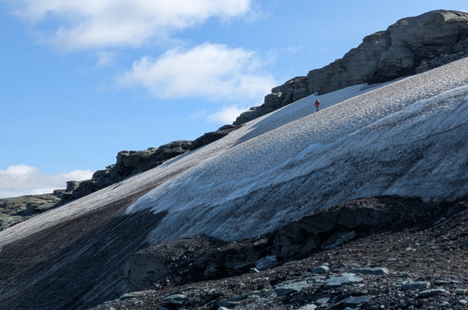
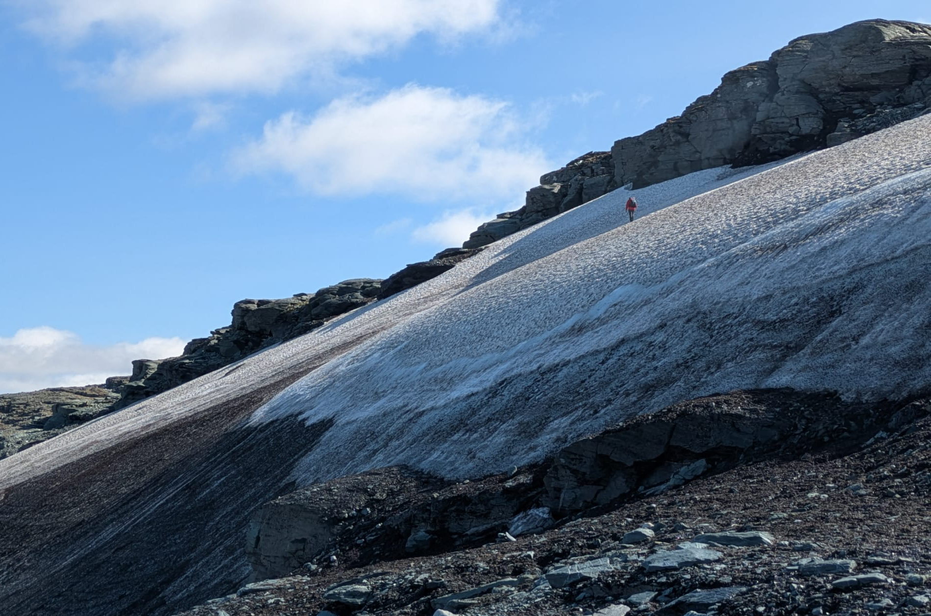

Glaciologists and survey specialists have used 3D scanning to measure 128,000m² of snow and ice in the Norwegian mountains, creating a digital record that will help scientists work out how quickly the country’s remaining ice patches are disappearing.
The fieldwork was carried out by service provider Deri Jones & Associates alongside Alice Phillips and Tris Irvine-Fynn of Aberystwyth University as part of OneZoo, a project that’ll see current volumes of Norwegian ice compared with historic LiDAR data.
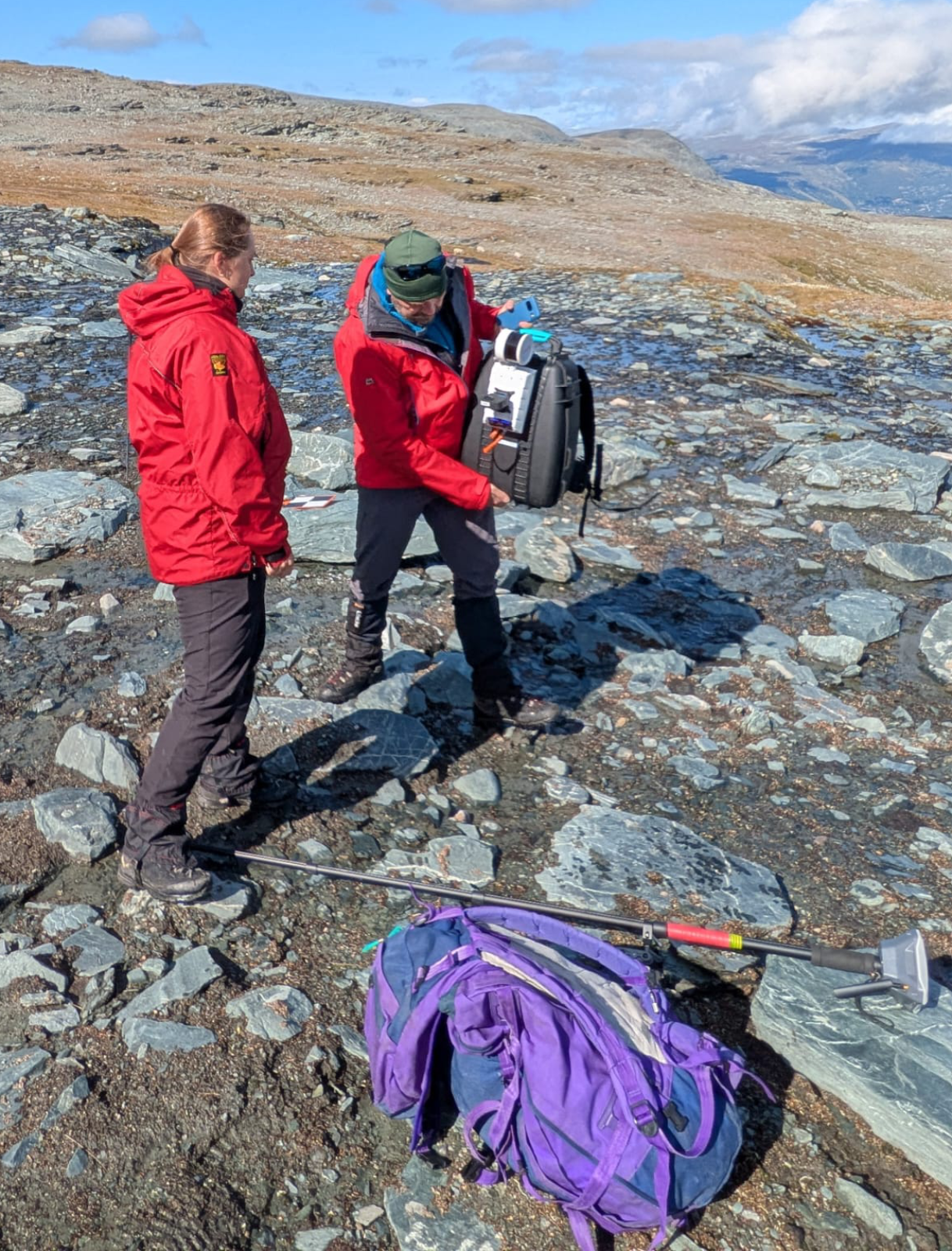
Joined by partners from the Norwegian Institute for Nature Research (NINA) on a two-week trip south of Trondheim, they combined biological sampling, ground-penetrating radar (GPR), and backpack-mounted laser scanning with Artec Jet.
With sites above 1,500m and fast-changing weather, this versatile, SLAM-based LiDAR scanner offered a lightweight alternative to tripod-mounted equipment, enabling the team to capture faster, with greater safety, and assured accuracy in hostile conditions.
Scanning on Norway’s highest mountain
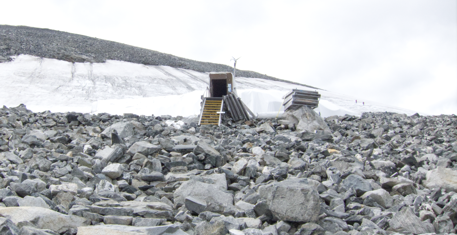
Poor weather around Trondheim sent the team four and a half hours south to the Norsk Fjellsenter museum, which conserves archaeological finds released by melting ice, then up Galdhøpiggen to the Klimapark 2469 site. There, a hand-carved tunnel runs beneath a snowpatch, its chambers mixing folklore, archaeology and science.
Between groups of visitors, the team scanned the tunnel’s passages in about 15 minutes, rather than the several hours a tripod would’ve needed. With hands free functionality, they could use walking poles on the icy floor, then crampons and ice axes on the slope above. GPR readings of snow depth, combined with the surface scans, will let the team estimate how much snow remains.
Two hours to capture 51,500 m²
The main site, above Oppdal, was chosen for its road access and trapped debris. Over four days, the researchers collected more than 120 kg of samples and ran GPR transects.
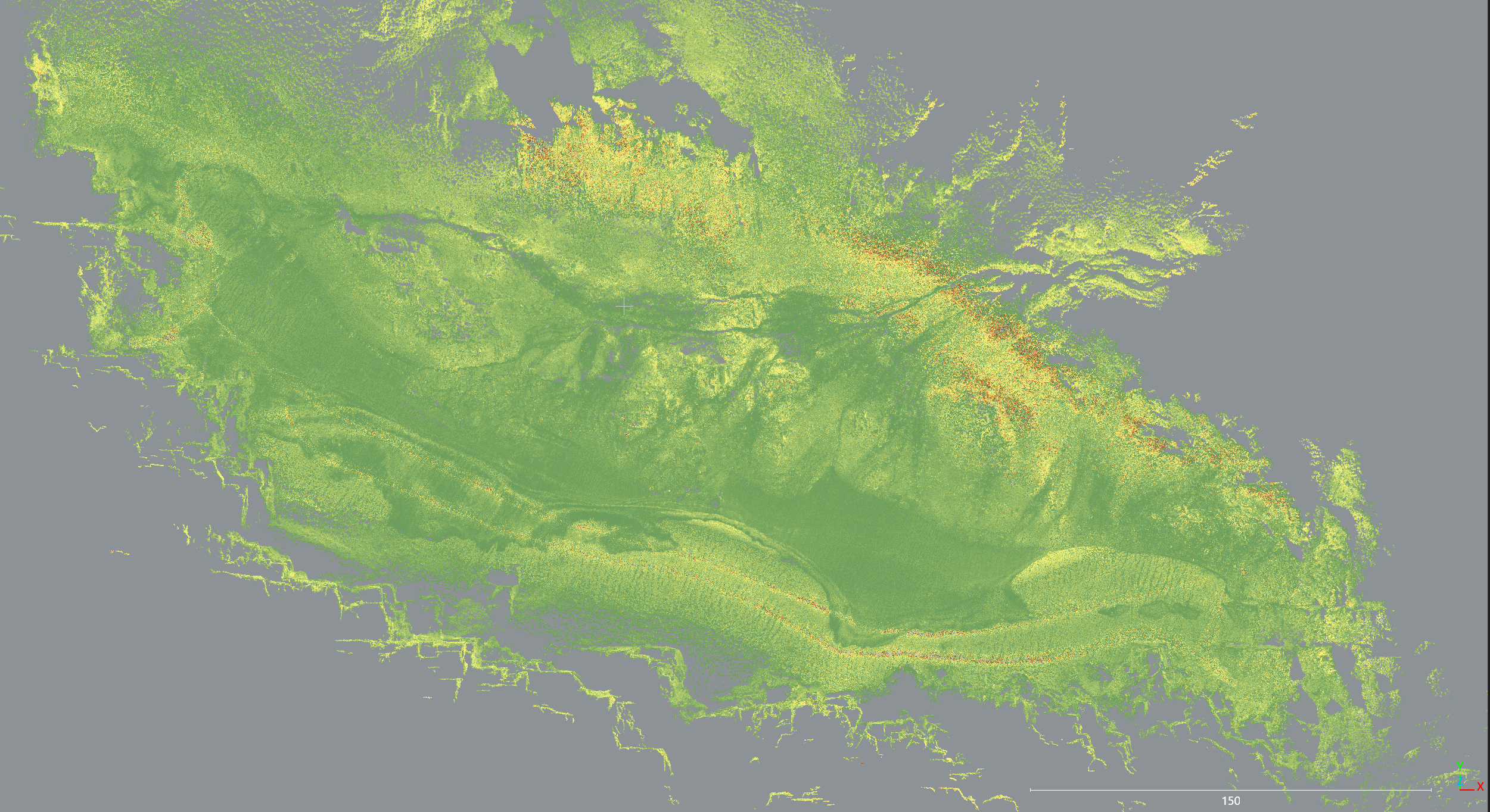
Ground control points recorded with an Emlid GPS system matched the scan data closely across 420-meter traverses. Four passes captured 51,500 m² of terrain in two hours, at a resolution fine enough to pick out meltwater runnels and individual rocks. It turned out that battery life, rather than weather or setup, was the main limitation.
Data was processed initially in Jet Bridge, Artec Jet’s companion app, which gives real-time scan feedback. It was later aligned inside the Artec Studio 3D data capture and processing software, before intensity filters were used for initial visual analysis.
What 3D data can tell climate researchers
In ten days, the team surveyed multiple snowpatches, scanning 128,000 m² of snow and 180m of tunnel. Comparing the new models with historic surface data should reveal how much each patch has shrunk, and how long it has left.
This method has wider applications. Repeat scans would allow researchers to track year by year instead of relying on old archive data. Portable scanning also suits other remote terrain where change is measured in centimeters, from glacier forefields to unstable slopes, and gives archaeologists a fast way to record sites exposed by retreating ice.
In heritage preservation, Artec Jet has also been used to digitize India’s Bull Temple in under an hour. At a smaller scale, Artec 3D scanners are helping biologists study the effects of climate change on living corals.
For more on the technology, read our guides to how LiDAR works and handheld LiDAR scanners, and our Artec Twins launch coverage.