When it comes to 3D technologies, most people think of two different types: 3D printing and 3D scanning. But there are actually many adjacent technologies, like SLAM – a mobile scanning process that’s fantastic at recreating scenes Google Earth-style with incredible realism.
Though SLAM isn’t as accurate as professional 3D scanning, it’s relevant to many of the same users, whether it be engineers capturing mines or manufacturers visualizing factory floors.
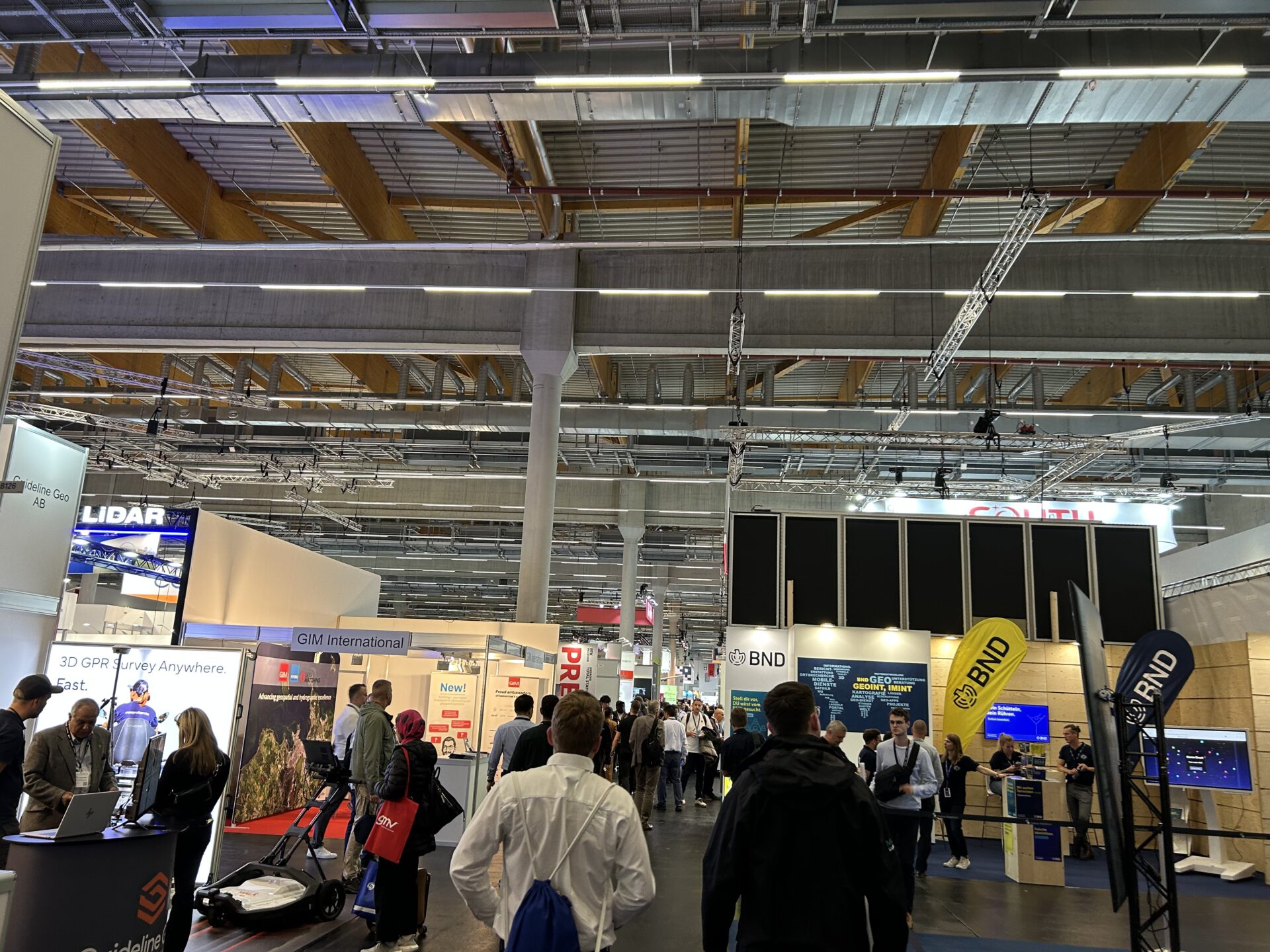
To find out where these seemingly separate fields overlap, the 3D Mag team headed to the INTERGEO exhibition in Frankfurt. Also home to Formnext, the 3D industry’s leading trade show, INTERGEO is the perfect place to discover how our two different worlds collide.
Let’s take a look at the hottest topics, talks, and technologies showcased at the event, and give those who couldn’t make it a full breakdown of the latest advances in a fast-moving space.
Hot topics at the INTERGEO trade show
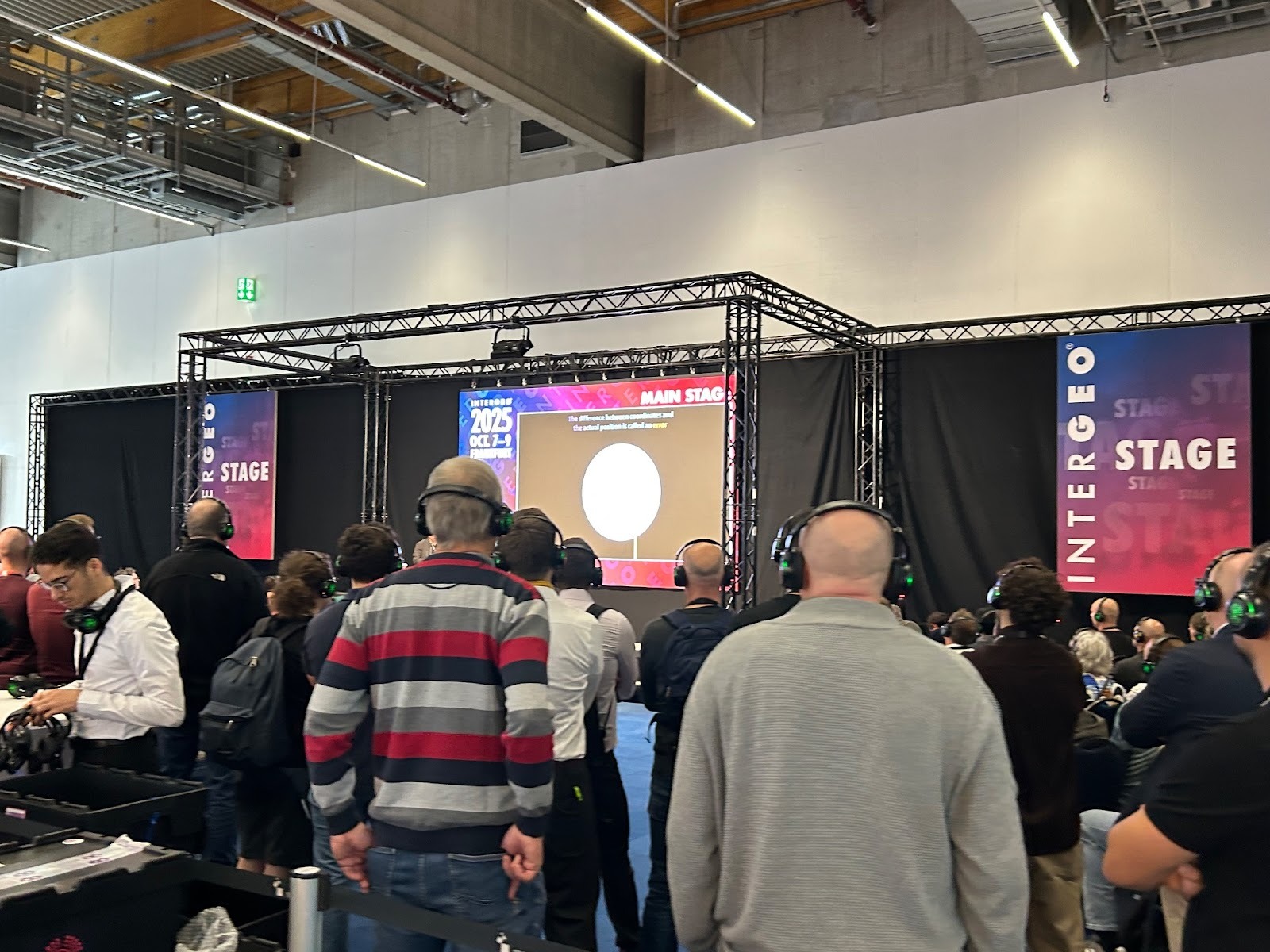
From the outset, INTERGEO did things a little differently this time out. Keynotes were delivered as “silent speeches,” with audio only available to those with headphones on. This quirky take on a traditional formula made for interesting viewing – visitors certainly seemed more engaged!
Speakers covered topics ranging from wildfire mapping and city planning to space mission simulation. Some of the more 3D technology-focused topics included OpenBIM, the concept of introducing universal information standards for construction. BIM has seen a surge in 3D scanning adoption of late in areas like on-site planning, inspection, and digital preservation.
Johannes Maunze, VP of AI at Hexagon also delivered a speech on “the age of intelligence” and the opportunities/challenges behind AI and creating accurate Digital Twins. His company had a big presence at the show – as did its subsidiary Leica – manufacturer of the RTC360 LiDAR scanner. Clearly, Hexagon has grand plans for the technology moving forwards!
Traditional 3D tech turns out in force
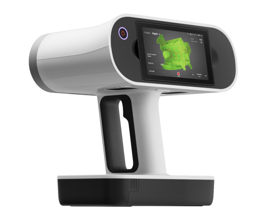
Artec 3D Ambassador Global Geosystems had a big presence at the event. With a strong background in metrology, the company’s booth was packed with measurement and digitization solutions. Alongside the RTC360, which Artec markets as the Ray II, its team showcased the handheld Leo, Spider II, and Eva 3D scanners. Much of the focus was on how these scanners combine to yield incredibly detailed 3D meshes, in a way that’s 100% unique in the industry.
Other major players included Trimble, which marketed its X9 LiDAR 3D scanner. Autodesk was also in attendance, albeit with partners like Inovi. This reflected the company’s focus on civil engineering software at the show, rather than 3D modeling solutions like Fusion360.
Interestingly 3DMakerPro, which is generally more focused on handheld 3D scanning, introduced a new LiDAR-based spatial scanner: the Hawk. Designed for manually capturing large areas like the inside of factories with up to 1.5-centimeter accuracy, the device takes its technology in an interesting direction. With gaussian splatting integration, it also offers multiple types of data capture – like many other SLAM & GNSS handhelds promoted at the show.
3D software solutions on-show at INTERGEO
This trend towards greater cross-technology integration was also present on the software side of things. Products like the TruView Go 116S, for example, boasted of being able to capture and combine LiDAR and photogrammetry data. LupoScan also presented a software capable of pairing these two data types, only it isn’t tied to any one specific brand of scanner.
In addition to basic tools for orienting and registering scans, the platform offers built-in analysis, sectioning, and meshing functionalities. While this is unlikely to challenge programs like Artec Studio, which merges even more diverse datasets and features advanced tools of its own, LupoScan software could prove attractive to those using alternatives. It outputs mesh surfaces as well, reflecting a shift away from point cloud LiDAR towards more accurate solutions.
Elsewhere, Pix4D showed off Pix4D Catch: a smartphone 3D scanning platform with IFC, CAD, and GIS overlays. These tools will likely prove popular with construction users as they enable real-time on-site annotation via AR. Of course, there are limitations to mobile measurement, but it should unlock faster documentation and ultimately, better decision-making.
Scanning booths for SLAM breakthroughs
On a showfloor full of SLAM devices, a few others stood out. GreenValley International marketed the visually impressive backpack-mounted LiGrip 02. Eye-catching and ultra-portable, the device attracted a crowd. But with a peak accuracy of around 3 centimeters, it’s unlikely to trouble more established LiDAR devices, especially those with handheld scanner integration.
The CyberMap-X Pro was similarly interesting to look at. The device can either be carried by hand or mounted for faster data capture to backpacks, cars, or drones. Capable of scanning at (car) speeds of up to 40 km/h from 300 meters, the technology certainly has the range required for large scene capture. Among geospatial scanning customers, this will be popular!
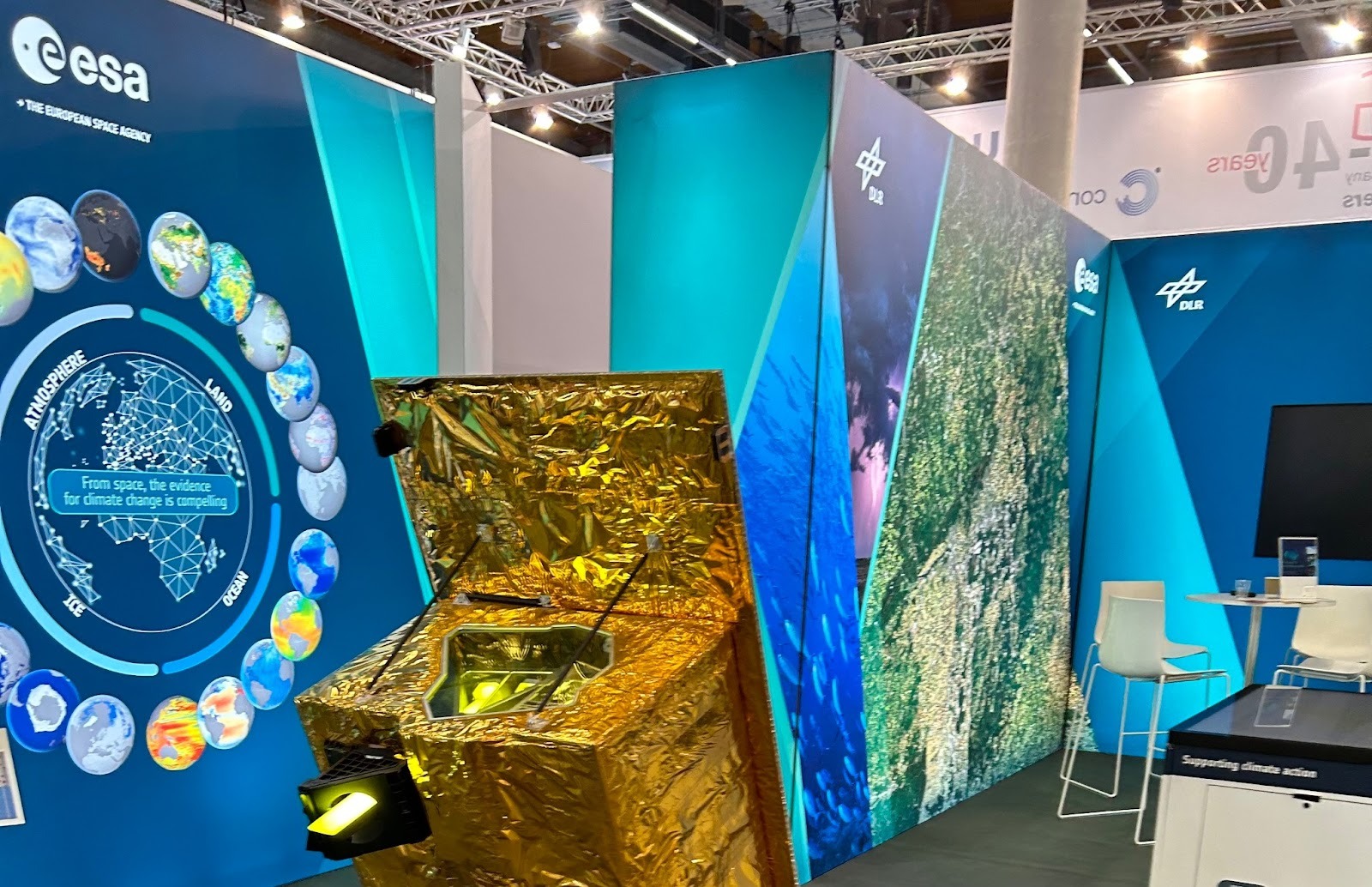
Curiously, the European Space Agency (ESA) was also exhibiting at the event. It turns out that the German Space Agency is running an environmental mapping program using technologies adjacent to those at the show. Specifically, the EnMAP mission is allowing the Earth’s terrestrial and aquatic ecosystems to be monitored from space, thanks to the above-pictured satellite.
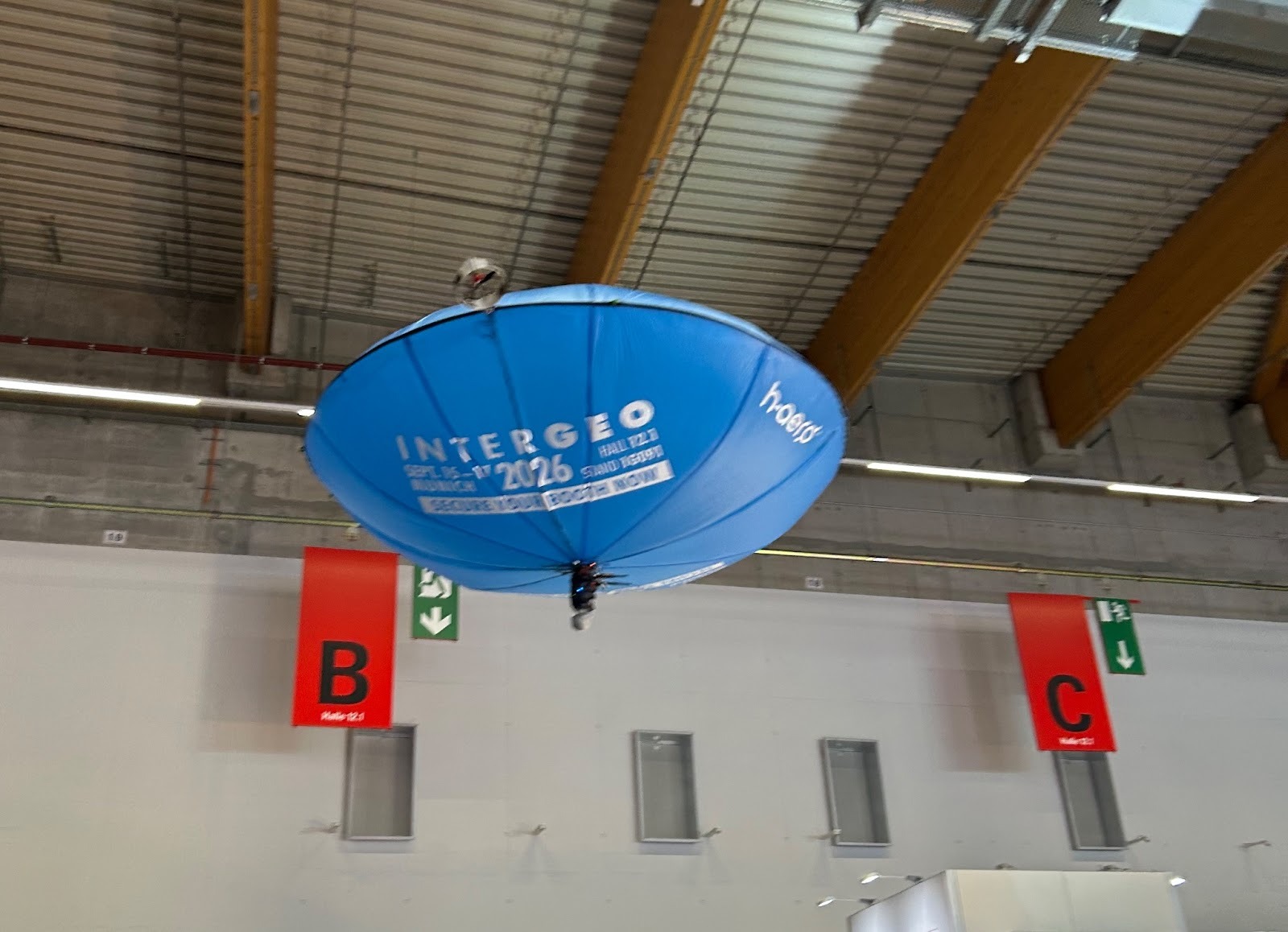
Clearly, the space age nature of 3D data capture hasn’t escaped the notice of the aerospace industry! From small blimps to UAVs, many of the latest innovations were on-show at this year’s INTERGEO. Stay tuned for more industry-leading event coverage, as 3D Mag heads to Formnext from November 18-21, 2025.